Related Images


Download:
| Tiny | 161x128 | View | Download |
| Small | 323x256 | View | Download |
| Medium | 646x512 | View | Download |
| Large | 1292x1024 | View | Download |
| Original | 7094x5620 | View | Download |
This image was acquired from
wikimedia. It was marked as Public Domain or CC0 and is free to use. To verify, go to the source and check the information there.
Looking for more info about this image?
Try a Google Reverse Image Search for it.
Try a Google Reverse Image Search for it.
Keywords from Image Description:
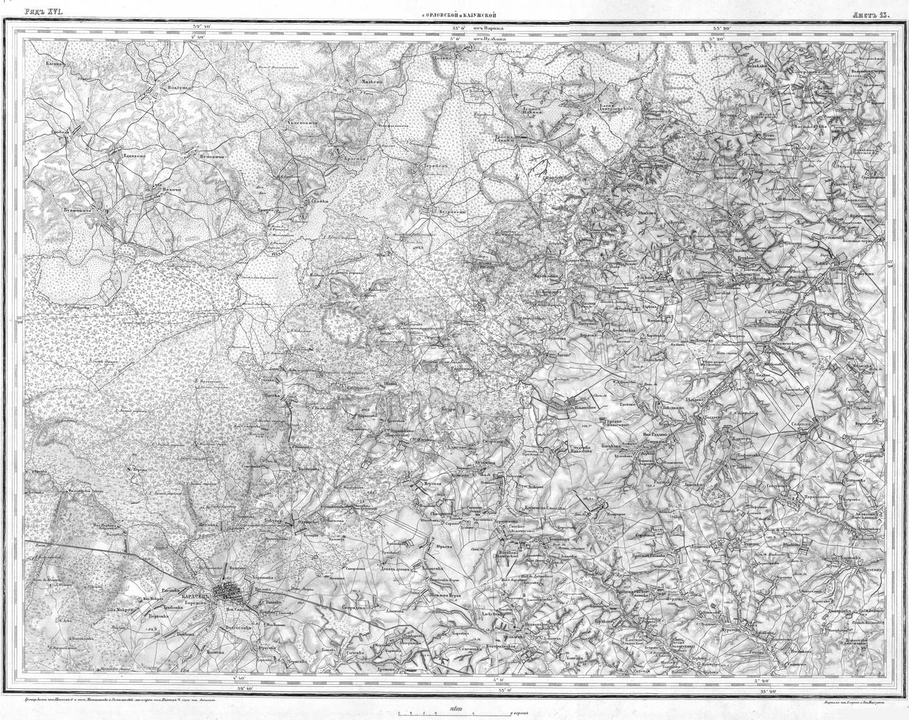
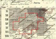
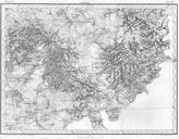
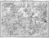
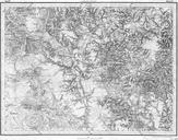
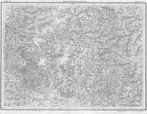
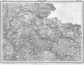
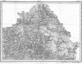
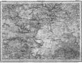
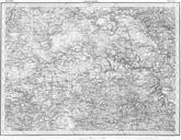
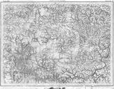
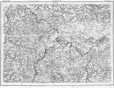
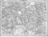
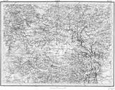
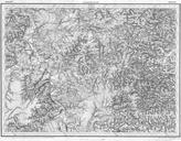
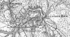
Kaluga Shubert map RL. en Shubert map Fragment of topographic map of Kaluga Governorate years Printed in versta in inch in cm ru Commonist ckit ru htm ru PDold Old maps of Kaluga Governorate Old maps of the Russian Empire Maps uploaded by ShinePhantom from various sources Shubert's