Related Images


Download:
| Tiny | 108x128 | View | Download |
| Small | 216x256 | View | Download |
| Medium | 433x512 | View | Download |
| Large | 866x1024 | View | Download |
| Original png | 1104x1304 | View | Download |
| Original as jpg | 1104x1304 | View | Download |
This image was acquired from
wikimedia. It was marked as Public Domain or CC0 and is free to use. To verify, go to the source and check the information there.
Looking for more info about this image?
Try a Google Reverse Image Search for it.
Try a Google Reverse Image Search for it.
Keywords from Image Description:
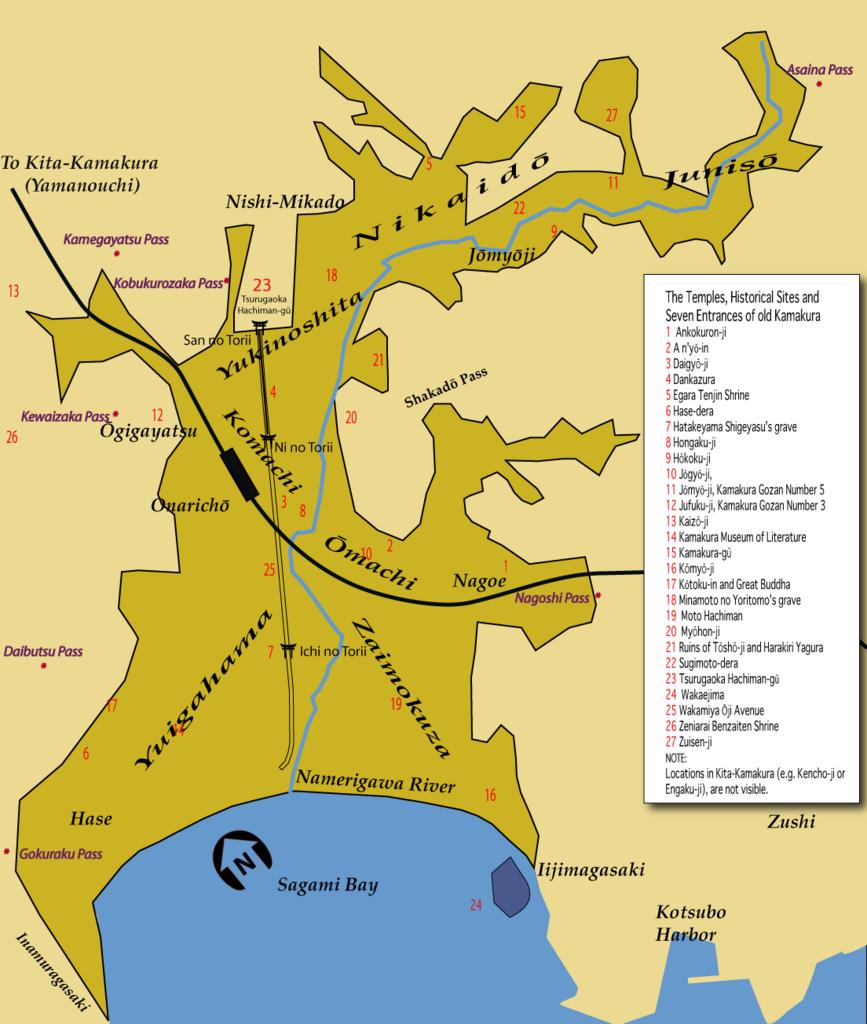
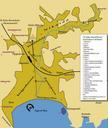
KamakuraMap Final. city map map of Kamakura with indications for temples shrines the Seven Entrances and historical sites Image KamakuraMapFinal made with Adobe Illustrator CS by Urashimataro converted to format by Ilmari Karonen Urashimataro Public Domain Urashimataro Maps of Kamakura