Related Images


Download:
| Tiny | 90x128 | View | Download |
| Small | 181x256 | View | Download |
| Medium | 362x512 | View | Download |
| Large | 724x1024 | View | Download |
| Original | 1654x2339 | View | Download |
This image was acquired from
wikimedia. It was marked as Public Domain or CC0 and is free to use. To verify, go to the source and check the information there.
Looking for more info about this image?
Try a Google Reverse Image Search for it.
Try a Google Reverse Image Search for it.
Keywords from Image Description:
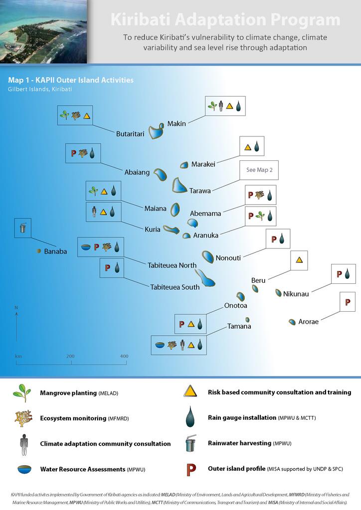
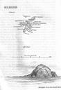
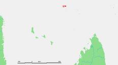
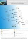
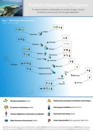
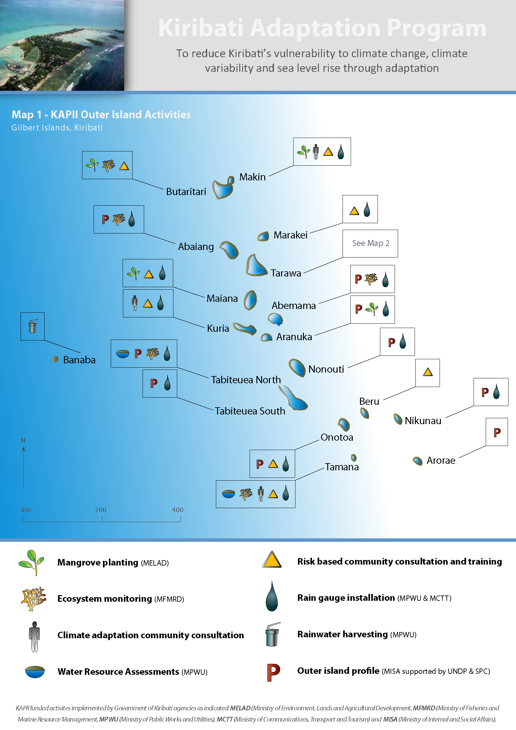
KAPII Outer Islands. en This map illustrates the climate change adaptation activities that have been performed around the islands and atolls of Kiribati as part of phase II of the Kiribati Adaptation Program own Marchonore Cczero Maps of Kiribati