
Related Images


Download:
| Tiny | 170x128 | View | Download |
| Small | 340x256 | View | Download |
| Medium | 680x512 | View | Download |
| Original png | 710x534 | View | Download |
| Original as jpg | 710x534 | View | Download |
This image was acquired from
wikimedia. It was marked as Public Domain or CC0 and is free to use. To verify, go to the source and check the information there.
Looking for more info about this image?
Try a Google Reverse Image Search for it.
Try a Google Reverse Image Search for it.
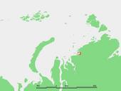
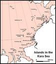
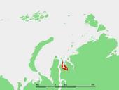
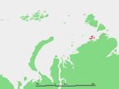
Keywords from Image Description:
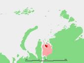
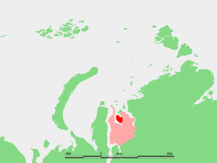
Kara seaMP. Schiereiland Mamonta binnen het schiereiland Gyda in het noorden van WestSiberi Adaption of file Kara seaGY Adaption of the work of Mohonu by User Hardscarf PDDemis Maps of the Kara Sea Peninsulas of Russia Maps of YamaloNenets Autonomous Okrug