Download:
| Tiny | 118x128 | View | Download |
| Small | 236x256 | View | Download |
| Original png | 411x444 | View | Download |
| Original as jpg | 411x444 | View | Download |
This image was acquired from
wikimedia. It was marked as Public Domain or CC0 and is free to use. To verify, go to the source and check the information there.
Looking for more info about this image?
Try a Google Reverse Image Search for it.
Try a Google Reverse Image Search for it.
Keywords from Image Description:
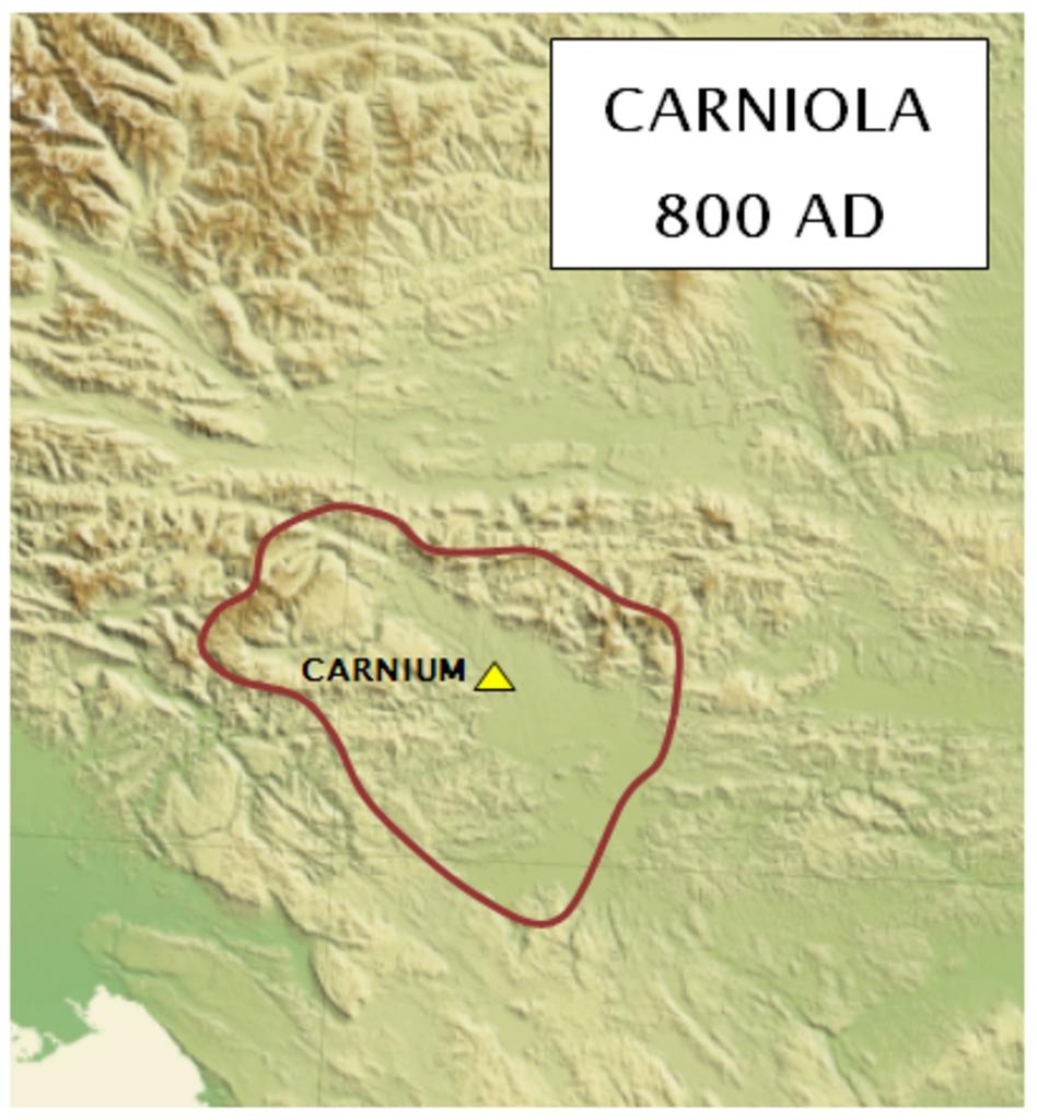
Karniola around . Probable territory of Karniola not Krajnska around year AD Verjetni ozemeljski obseg Karniole okrog leta selfmade un org pdf IP Dbc historical map sl Slovene IP Maps of the history of Slovenia in the Middle Ages
