
Related Images


Download:
| Tiny | 186x128 | View | Download |
| Small | 372x256 | View | Download |
| Medium | 744x512 | View | Download |
| Original png | 800x550 | View | Download |
| Original as jpg | 800x550 | View | Download |
This image was acquired from
wikimedia. It was marked as Public Domain or CC0 and is free to use. To verify, go to the source and check the information there.
Looking for more info about this image?
Try a Google Reverse Image Search for it.
Try a Google Reverse Image Search for it.
Keywords from Image Description:
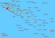
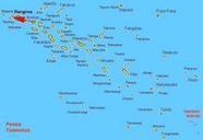
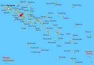
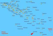
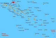
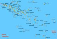
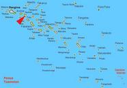
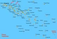
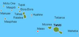
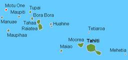
Karta FP Tuamotus isl. Karte der Tuamotusinseln Franzsisch Polynesien Map rough of the Tuamotus Islands French Polynesia own work composed from various mapreferences Karta ver Tuamotusarna FP own Hobe Holger Behr King George Islands Mataiva map Maps of the Tuamotus