This image was acquired from
wikimedia. It was marked as Public Domain or CC0 and is free to use. To verify, go to the source and check the information there.
Looking for more info about this image?
Try a Google Reverse Image Search for it.
Try a Google Reverse Image Search for it.
Keywords from Image Description:
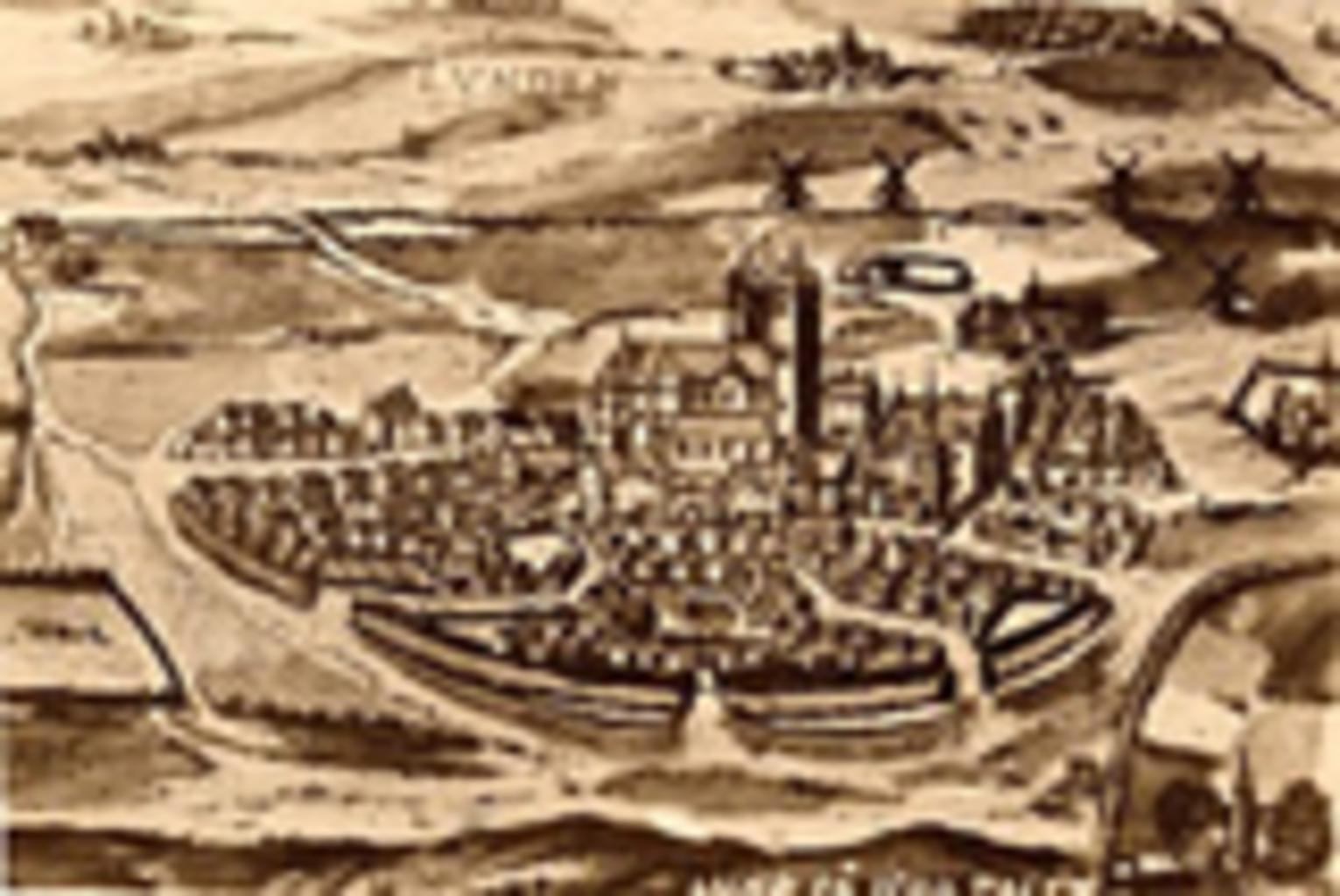
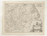
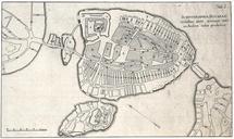
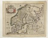
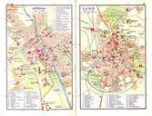
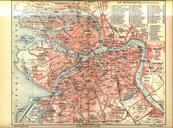
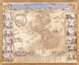
Karta ver Lund talet. Kartbilden ett kopparstick frn talet och den ldsta topografiska bilden frn Lund map of Lund from the 's Kopparstick frn talet Den ingr Georg Braun och Franz Hogenberg Liber quartus urbium praecipuarum totius mundi Den digitala versionen kommer lund se aspx hrifrn 's unknown author page is was here no oktober
