Related Images


Download:
| Tiny | 163x128 | View | Download |
| Small | 326x256 | View | Download |
| Medium | 652x512 | View | Download |
| Large | 1305x1024 | View | Download |
| Original tiff | 9117x7153 | View | Download |
| Original as jpg | 9117x7153 | View | Download |
This image was acquired from
wikimedia. It was marked as Public Domain or CC0 and is free to use. To verify, go to the source and check the information there.
Looking for more info about this image?
Try a Google Reverse Image Search for it.
Try a Google Reverse Image Search for it.
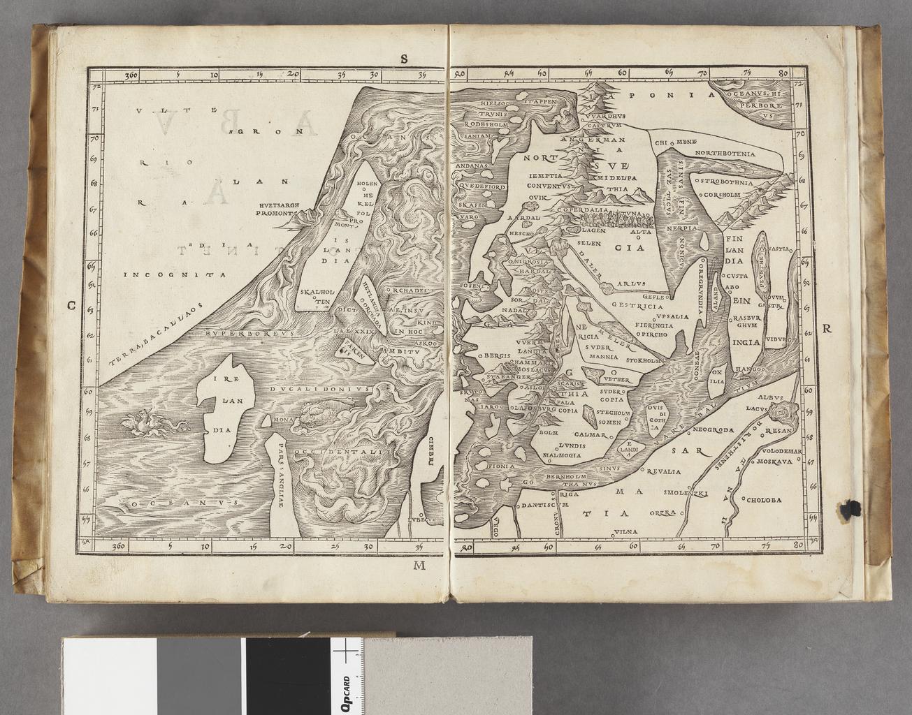
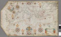
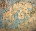
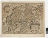
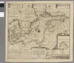
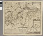
Keywords from Image Description:
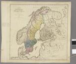
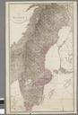
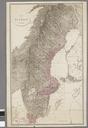
Karta ver Norden Kungliga Biblioteket .tif Schematisk topografi som visar hjder Orter utsatta Visar Skandinaviska halvns utstrckning frn norr till sder med Bottenhavet och Bottenviken Jakob Ziegler creator cartographer Kungliga biblioteket image kb se tif Per the kb se source the digitisations are under CC map date century