
Related Images


Download:
| Tiny | 175x128 | View | Download |
| Small | 351x256 | View | Download |
| Medium | 702x512 | View | Download |
| Large | 1405x1024 | View | Download |
| Original | 4388x3196 | View | Download |
This image was acquired from
wikimedia. It was marked as Public Domain or CC0 and is free to use. To verify, go to the source and check the information there.
Looking for more info about this image?
Try a Google Reverse Image Search for it.
Try a Google Reverse Image Search for it.
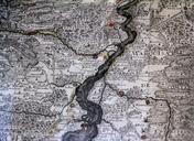
Keywords from Image Description:
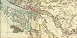
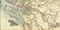
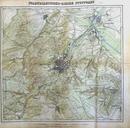
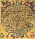
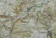
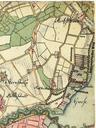
Karte. de Ein Ausschnitt der Oberrheinkarte von Auf der Karte sind befestigte Pltze farblich markiert Auf der Karte ist die Lage von Wstungen wie Dunhausen ersichtlich Wehrgeschichtliches Museum Rastatt Foto MartinDrrschnabel Karte unbekannt History of Rastatt thcentury maps of BadenWrttemberg Maps of the Rhine thcentury maps of