
Related Images


Download:
| Tiny | 75x128 | View | Download |
| Small | 151x256 | View | Download |
| Medium | 302x512 | View | Download |
| Large | 605x1024 | View | Download |
| Original | 764x1293 | View | Download |
This image was acquired from
wikimedia. It was marked as Public Domain or CC0 and is free to use. To verify, go to the source and check the information there.
Looking for more info about this image?
Try a Google Reverse Image Search for it.
Try a Google Reverse Image Search for it.
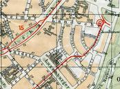
Keywords from Image Description:
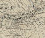
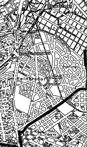
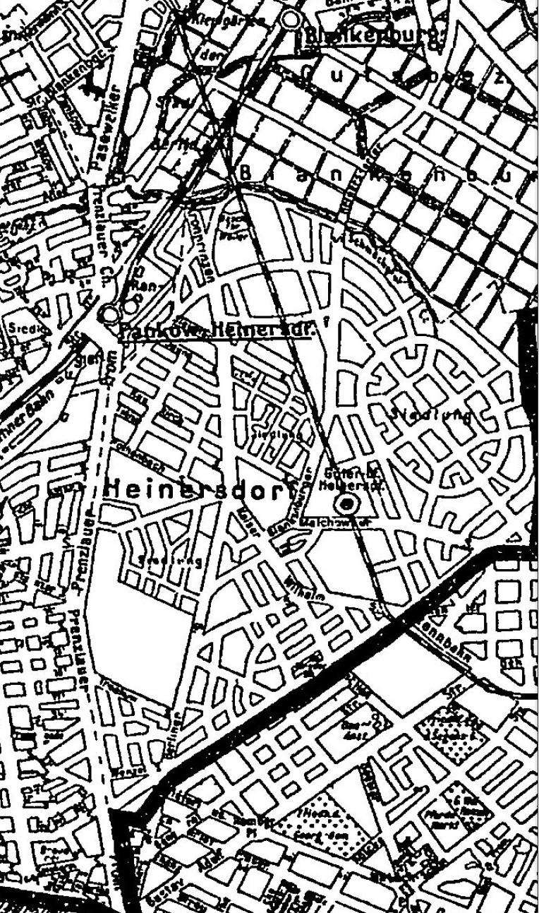
Karte aus AB. de Die Straensituation der Heinersdorfer Straen Ortsteil Heinersdorf im Berliner Verwaltungsbezirk Pankow nach dem SilvaPlan wie er als Vorlage fr das Berliner Adressbuch genutzt wurde zlb de Berliner Adrebuch IV Straen und Huser von Berlin Verwaltungsbezirk Pankow auf Heinersdorf begrenzt Boonekamp BerlinHeinersdorf