Related Images


Download:
| Tiny | 86x128 | View | Download |
| Small | 172x256 | View | Download |
| Medium | 345x512 | View | Download |
| Large | 691x1024 | View | Download |
| Original | 1800x2667 | View | Download |
This image was acquired from
wikimedia. It was marked as Public Domain or CC0 and is free to use. To verify, go to the source and check the information there.
Looking for more info about this image?
Try a Google Reverse Image Search for it.
Try a Google Reverse Image Search for it.
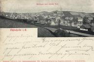
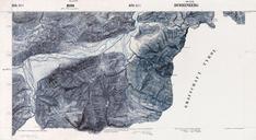
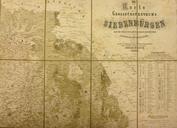
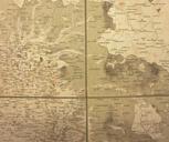
Keywords from Image Description:
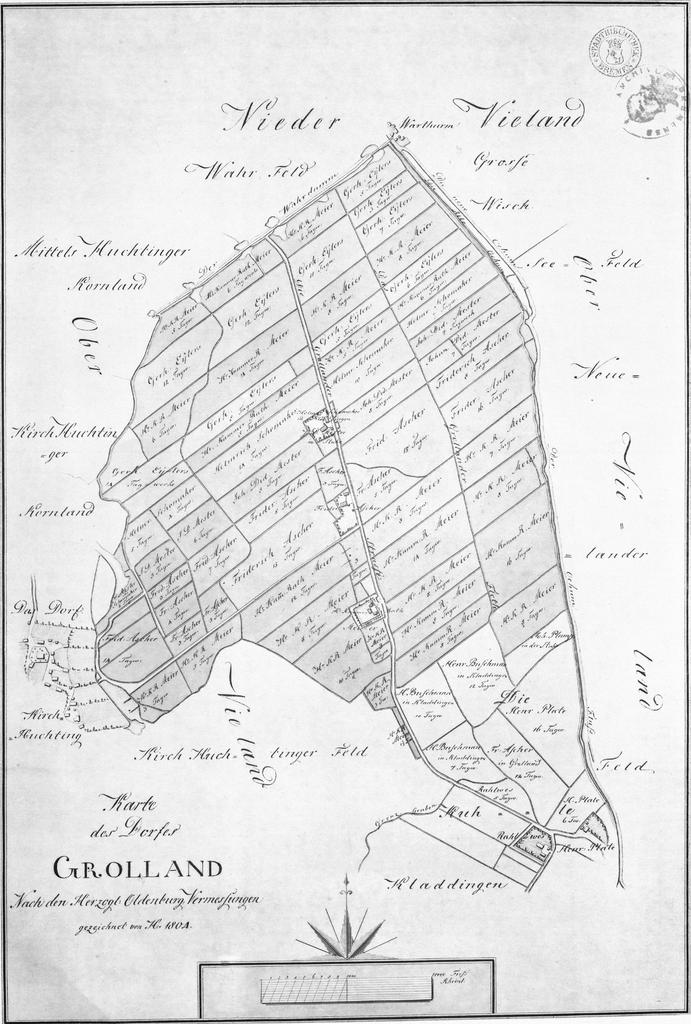
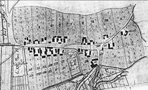
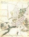
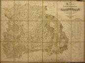
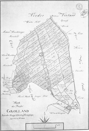
Karte des Dorfes Grolland . de Originaltitel Karte des Dorfes Grolland nach den Herzogl Oldenburgischen Vermessungen gezeichnet von Heinenken en Original title Map of Grolland village according to the Ducal Oldenburgian survey drawn by Heineken Own scan of collotype of the original map original map scan de Christian Abraham Heineken