
Related Images


Download:
| Tiny | 184x128 | View | Download |
| Small | 368x256 | View | Download |
| Medium | 736x512 | View | Download |
| Large | 1473x1024 | View | Download |
| Original | 1479x1028 | View | Download |
This image was acquired from
wikimedia. It was marked as Public Domain or CC0 and is free to use. To verify, go to the source and check the information there.
Looking for more info about this image?
Try a Google Reverse Image Search for it.
Try a Google Reverse Image Search for it.
Keywords from Image Description:
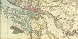
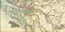
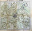
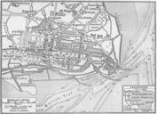
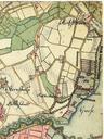
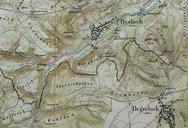
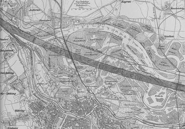
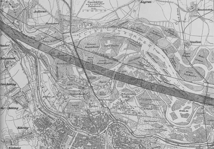
Karte Donaudurchstich. PDold Plan of the danuberegulation Scanned by Geiserich from Hinkel Raimund Wien XXI Floridsdorf Das Heimatbuch Wien circa Author Public Domain because of age Floridsdorf Old maps of Vienna Maps of the Danube in Vienna