
Related Images


Download:
| Tiny | 90x128 | View | Download |
| Small | 180x256 | View | Download |
| Medium | 361x512 | View | Download |
| Large | 722x1024 | View | Download |
| Original | 2695x3821 | View | Download |
This image was acquired from
wikimedia. It was marked as Public Domain or CC0 and is free to use. To verify, go to the source and check the information there.
Looking for more info about this image?
Try a Google Reverse Image Search for it.
Try a Google Reverse Image Search for it.
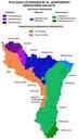
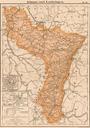
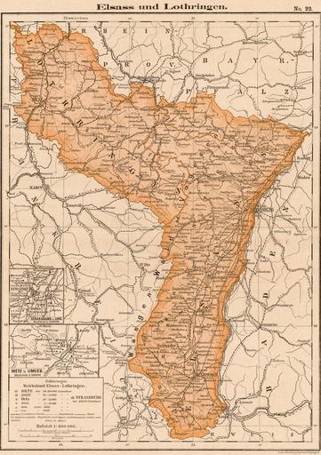
Keywords from Image Description:
Karte ElsassLothringens . Reichslandes ElsassLothringen aus dem Jahr fr Carte historique d'AlsaceLorraine en en Historical map of AlsaceLorraine in scan of historical map scanned Bilz Louis Gerstner Geographische Anstalt Leipzig PDold Old maps of AlsaceLorraine Maps showing history in German maps