
Related Images


Download:
| Tiny | 219x128 | View | Download |
| Small | 438x256 | View | Download |
| Medium | 876x512 | View | Download |
| Original | 911x532 | View | Download |
This image was acquired from
wikimedia. It was marked as Public Domain or CC0 and is free to use. To verify, go to the source and check the information there.
Looking for more info about this image?
Try a Google Reverse Image Search for it.
Try a Google Reverse Image Search for it.
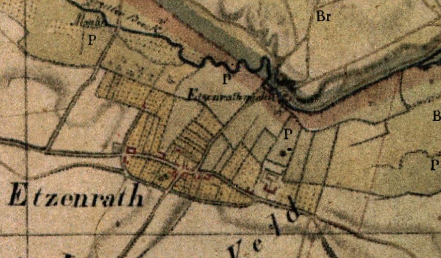
Keywords from Image Description:
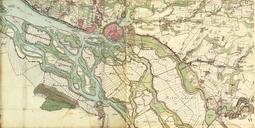
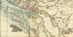
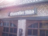
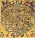
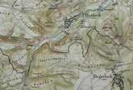
Karte Etzenrather Mhle. de Kartenaufnahme der Rheinlande durch Tranchot und von Mffling Ausschnitt mit dem Gebiet der Ortschaft Etzenrade NL damals Etzenrath und der Etzenrather Mhle nl Topografische opname van't Rijnland door Tranchot en von Mffling uittreksel met het gebied van Etzenrade NL toen Etzenrath en de Etzenrather Mhle