
Related Images


Download:
| Tiny | 119x128 | View | Download |
| Small | 238x256 | View | Download |
| Medium | 477x512 | View | Download |
| Large | 954x1024 | View | Download |
| Original | 2319x2487 | View | Download |
This image was acquired from
wikimedia. It was marked as Public Domain or CC0 and is free to use. To verify, go to the source and check the information there.
Looking for more info about this image?
Try a Google Reverse Image Search for it.
Try a Google Reverse Image Search for it.
Keywords from Image Description:
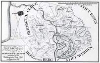
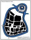
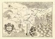
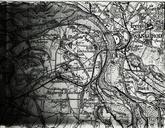
Karte MH um . Topographische Karte der Stadt Mlheim an der Ruhr und des Landkreis Mlheim an der Ruhr Stadtarchiv Mlheim transfered from German uploaded there by user Omis Trtchen on um Geometer Hofacker PDold Historical maps of Mlheim an der Ruhr