
Related Images

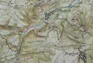


Download:
| Tiny | 98x128 | View | Download |
| Small | 196x256 | View | Download |
| Medium | 392x512 | View | Download |
| Large | 785x1024 | View | Download |
| Original png | 990x1290 | View | Download |
| Original as jpg | 990x1290 | View | Download |
This image was acquired from
wikimedia. It was marked as Public Domain or CC0 and is free to use. To verify, go to the source and check the information there.
Looking for more info about this image?
Try a Google Reverse Image Search for it.
Try a Google Reverse Image Search for it.
Keywords from Image Description:
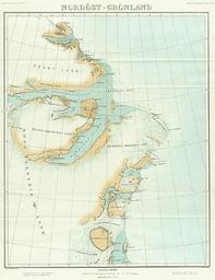
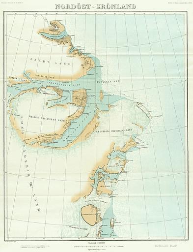
Karte Nordostgrnland Koch . en Map of North East Greenland by Johan Peter Koch as surveyed during the Danmark Expedition de Johan Peter Kochs Karte Nordostgrnlands angefertigt nach der Landvermessung durch die DanmarkExpedition Koch DanmarkEkspeditionens Kort Geografisk Tidsskrift Johan Peter Koch Denmark Expedition Maps of