
Related Images


This image was acquired from
wikimedia. It was marked as Public Domain or CC0 and is free to use. To verify, go to the source and check the information there.
Looking for more info about this image?
Try a Google Reverse Image Search for it.
Try a Google Reverse Image Search for it.
Keywords from Image Description:
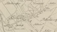
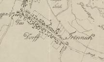
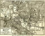
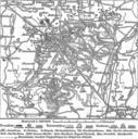
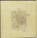
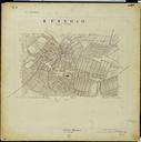
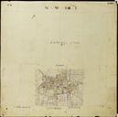
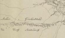
Karte Richtersdorf bei Gleiwitz . de Richtersdorf bei Gleiwitz im Jahr Zeichnung von nach alten Karten SituationsPlan der Stadt Gleiwitz mit ihren Vorstdten und Umgebungen im Jahre Stdtisches VermessungsAmt Gleiwitz Wjtowa Wie Gliwice PDold