
Related Images
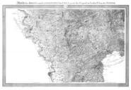
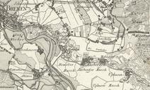


Download:
| Tiny | 183x128 | View | Download |
| Small | 367x256 | View | Download |
| Medium | 735x512 | View | Download |
| Original png | 1200x835 | View | Download |
| Original as jpg | 1200x835 | View | Download |
This image was acquired from
wikimedia. It was marked as Public Domain or CC0 and is free to use. To verify, go to the source and check the information there.
Looking for more info about this image?
Try a Google Reverse Image Search for it.
Try a Google Reverse Image Search for it.
Keywords from Image Description:
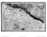
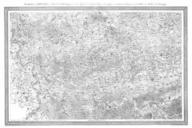
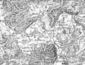
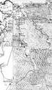
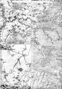
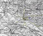
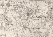
Karte Salzkotten Le Coq . Karte von Salzkotten zu Beginn des Jahrhunderts Ausschnitt aus lwl org html Topographische Karte in XXII Blaettern den grsten Theil von Westphalen enthaltend Section XVI ca Herausgeber von Carl Ludwig von Le Coq br Digitalisat des Landesarchivs NordrheinWestfalen Abteilung Westfalen KSA PDold Maps