Download:
| Tiny | 170x128 | View | Download |
| Small | 340x256 | View | Download |
| Medium | 681x512 | View | Download |
| Large | 1363x1024 | View | Download |
| Original | 2850x2141 | View | Download |
This image was acquired from
wikimedia. It was marked as Public Domain or CC0 and is free to use. To verify, go to the source and check the information there.
Looking for more info about this image?
Try a Google Reverse Image Search for it.
Try a Google Reverse Image Search for it.
Keywords from Image Description:
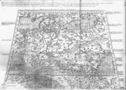
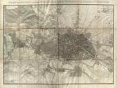
Karte von Jerusalem und seiner naechsten Umgebungen geometrisch aufgenommen von F.W. Sieber im Jahre . ins reine gezeichnet von J. Wach. gestochen von J. Stoelzel. nli org il aspx en topographical plan of Jerusalem seen from the southeast by Sieber One of the first measurment maps of the city he Dimensions mm nli

