
Related Images
Download:
| Tiny | 95x128 | View | Download |
| Small | 191x256 | View | Download |
| Medium | 383x512 | View | Download |
| Original | 401x535 | View | Download |
This image was acquired from
wikimedia. It was marked as Public Domain or CC0 and is free to use. To verify, go to the source and check the information there.
Looking for more info about this image?
Try a Google Reverse Image Search for it.
Try a Google Reverse Image Search for it.
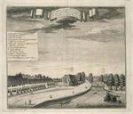
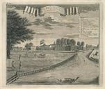
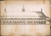
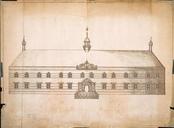
Keywords from Image Description:
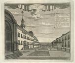
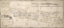
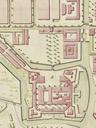
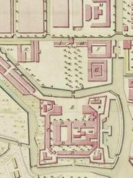
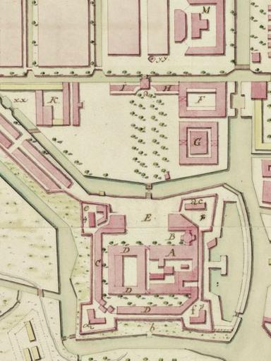
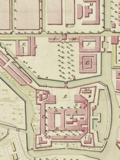
Kasteel Batavia . en Closeup of map of Batavia in showing the castle Dutch Kasteel after modifications by governor general Van Imhoff Top of the image is south gahetna nl VEL VEL Luepken land surveyor mapmaker van Barnekor copied after other versions left px PDArt Uploaded with Batavia Castle