
Related Images


Download:
| Tiny | 117x128 | View | Download |
| Small | 234x256 | View | Download |
| Medium | 468x512 | View | Download |
| Original | 599x655 | View | Download |
This image was acquired from
wikimedia. It was marked as Public Domain or CC0 and is free to use. To verify, go to the source and check the information there.
Looking for more info about this image?
Try a Google Reverse Image Search for it.
Try a Google Reverse Image Search for it.
Keywords from Image Description:
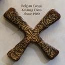
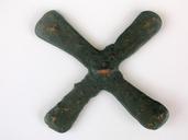
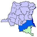
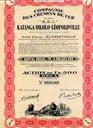
Katanga mines. map of fr katanga mines around ebay Old image Author old image HISTORICAL RELIEF MAP CHART SHOWING TERRAIN TOPOGRAPHY ENVIRONS Approximate Image Size inches Approximate Overall Size inches Scale KATANGA district of Belgian Congo forming the southeastern part of the colony Area approximately sq estimated