Related Images


Download:
| Tiny | 162x128 | View | Download |
| Small | 324x256 | View | Download |
| Medium | 648x512 | View | Download |
| Original png | 778x614 | View | Download |
| Original as jpg | 778x614 | View | Download |
This image was acquired from
wikimedia. It was marked as Public Domain or CC0 and is free to use. To verify, go to the source and check the information there.
Looking for more info about this image?
Try a Google Reverse Image Search for it.
Try a Google Reverse Image Search for it.
Keywords from Image Description:
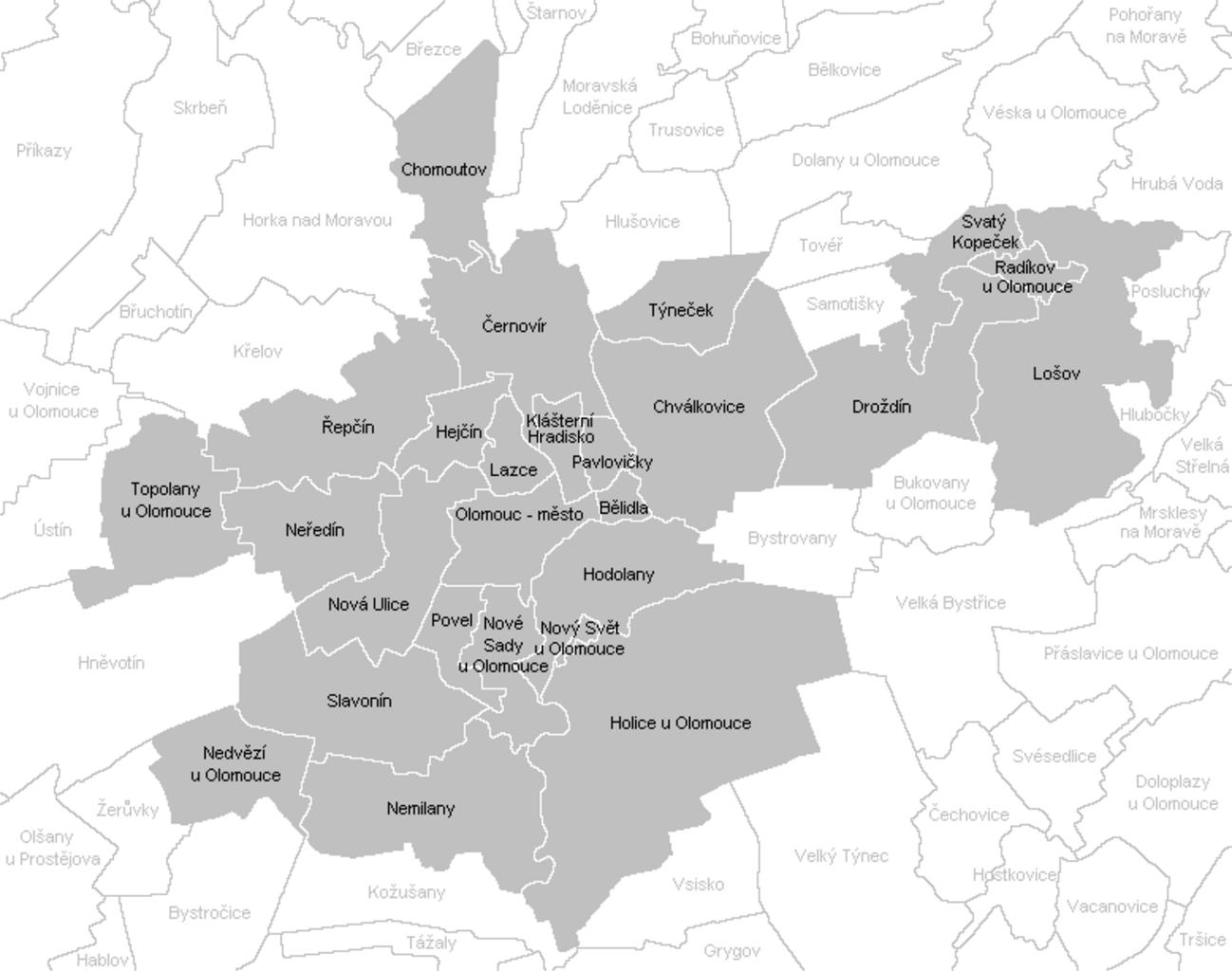
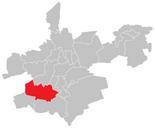
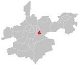
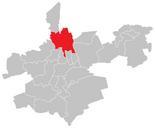
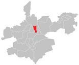
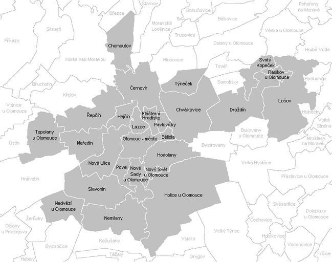
Katastrln mapa Olomouce. en Cadastral map of Olomouc cs Katastrln mapa Olomouce own Mapovho nlonk Greater Olomouc Cadastral maps of the Olomouc District Maps of districts of Olomouc