Related Images


Download:
| Tiny | 223x128 | View | Download |
| Small | 446x256 | View | Download |
| Medium | 892x512 | View | Download |
| Original png | 1473x845 | View | Download |
| Original as jpg | 1473x845 | View | Download |
This image was acquired from
wikimedia. It was marked as Public Domain or CC0 and is free to use. To verify, go to the source and check the information there.
Looking for more info about this image?
Try a Google Reverse Image Search for it.
Try a Google Reverse Image Search for it.
Keywords from Image Description:
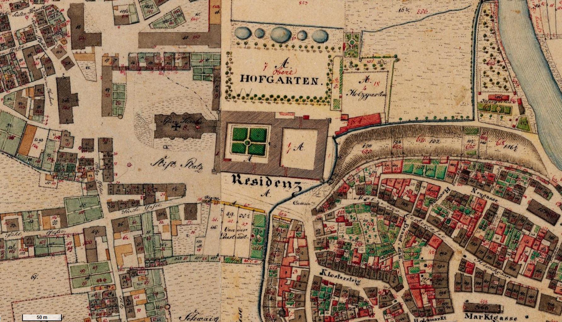
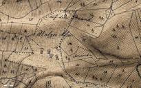
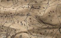
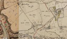
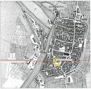
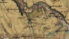
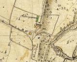
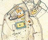
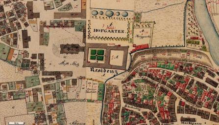
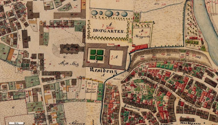
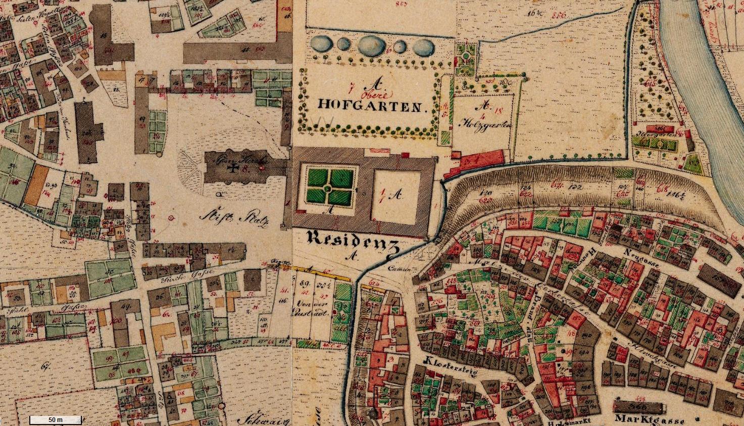
Kempten historische Flurkarte . de historische Flurkarte Kempten Hildegardplatz damals Stifts Platz und Umgebung bayern de lon lat zoom base Kniglich Bayerisches Vermessungsamt circa Maps of Kempten Allgu Old maps of Bavaria Hildegardplatz PDold