Download:
| Tiny | 161x128 | View | Download |
| Small | 323x256 | View | Download |
| Medium | 646x512 | View | Download |
| Large | 1293x1024 | View | Download |
| Original | 4400x3483 | View | Download |
This image was acquired from
wikimedia. It was marked as Public Domain or CC0 and is free to use. To verify, go to the source and check the information there.
Looking for more info about this image?
Try a Google Reverse Image Search for it.
Try a Google Reverse Image Search for it.
Keywords from Image Description:
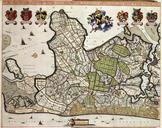
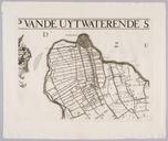
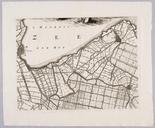
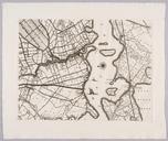
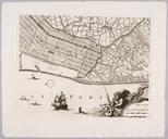
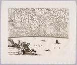
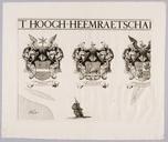
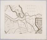
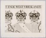
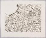
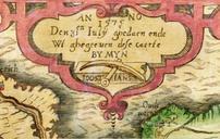
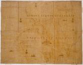
Kennemerlant ende WestFrieslantt . HOOGHHEEMRAETSCHAP VAN DE UYTWATERENDE SLUYSEN IN KENNEMERLANT ENDE WESTFRIESLANTT historic map of Kennemerland and WestFriesland North Holland www geheugenvannederland nl Johannes Dou Coenraet Decker Abraham Deur PDold Old maps of North Holland Maps of Kennemerland Maps of West Friesland maps

