Download:
| Tiny | 194x128 | View | Download |
| Small | 388x256 | View | Download |
| Medium | 777x512 | View | Download |
| Large | 1555x1024 | View | Download |
| Original png | 1768x1164 | View | Download |
| Original as jpg | 1768x1164 | View | Download |
This image was acquired from
wikimedia. It was marked as Public Domain or CC0 and is free to use. To verify, go to the source and check the information there.
Looking for more info about this image?
Try a Google Reverse Image Search for it.
Try a Google Reverse Image Search for it.
Keywords from Image Description:
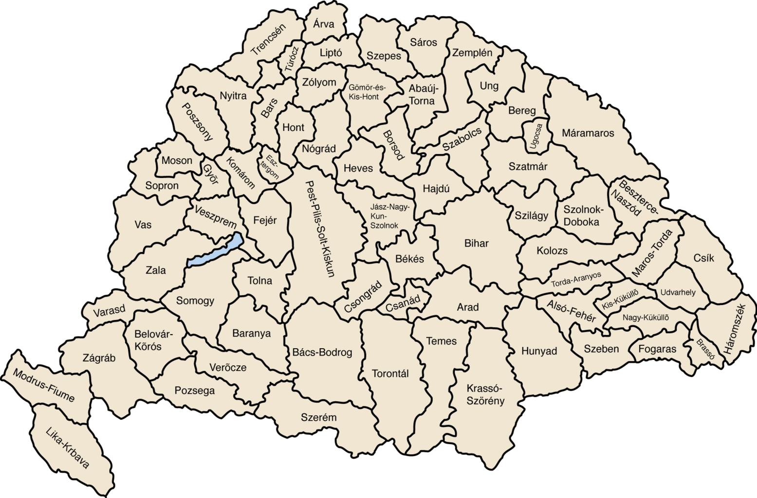
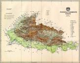
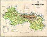
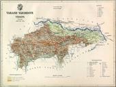
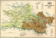
Kingdom of Hungary counties x. Map of late Hungary counties large version This is hand drawn traced from several old public domain maps I'll put the Photoshop version up somewhere soon IMeowbot Feb UTC Kingdom of Hungary counties svg Maps showing thcentury history Maps of counties in the Kingdom of Hungary
