
Related Images


This image was acquired from
wikimedia. It was marked as Public Domain or CC0 and is free to use. To verify, go to the source and check the information there.
Looking for more info about this image?
Try a Google Reverse Image Search for it.
Try a Google Reverse Image Search for it.
Keywords from Image Description:
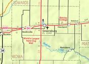
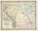
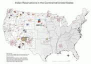
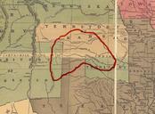
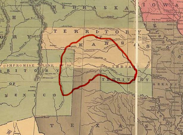
Kiowa map. Map showing approximately the area occupied by the Kiowa tribe prior to It's made using Reynolds's Political Map of the United States from Library of Congress collection public domain own assumed Left Hookcommons Kiowa Maps of Native American tribal territories