Related Images


Download:
| Tiny | 154x128 | View | Download |
| Small | 309x256 | View | Download |
| Medium | 619x512 | View | Download |
| Original | 802x663 | View | Download |
This image was acquired from
wikimedia. It was marked as Public Domain or CC0 and is free to use. To verify, go to the source and check the information there.
Looking for more info about this image?
Try a Google Reverse Image Search for it.
Try a Google Reverse Image Search for it.
Keywords from Image Description:
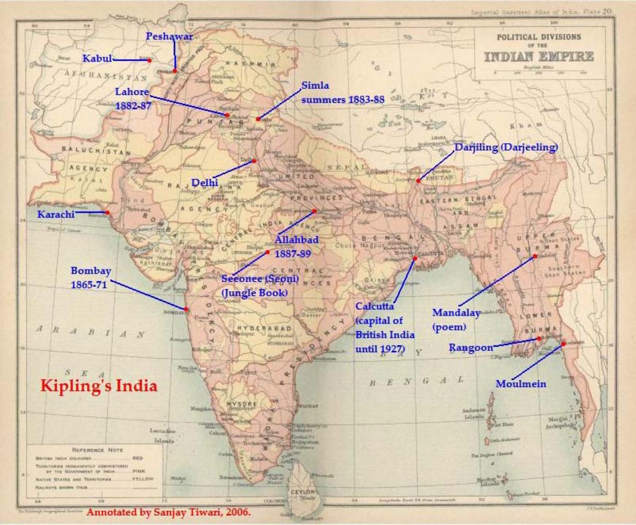
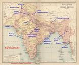
Kiplingsindia. This is lowresolution of original scanned image of the map Politial Divisions of the Indian Empire from the Imperial Gazeteer of India volume Atlas published by the Oxford University Press The map image was scanned and then annotated by me Sanjay Tiwari September UTC own User Sanjay Tiwari on org en PDold