Related Images


This image was acquired from
wikimedia. It was marked as Public Domain or CC0 and is free to use. To verify, go to the source and check the information there.
Looking for more info about this image?
Try a Google Reverse Image Search for it.
Try a Google Reverse Image Search for it.
Keywords from Image Description:
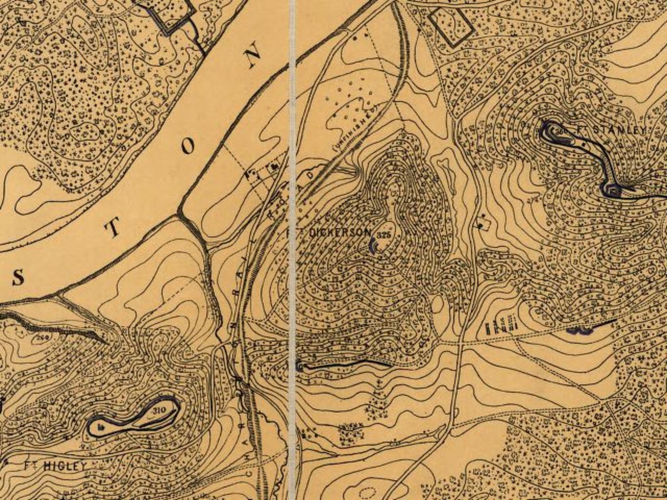
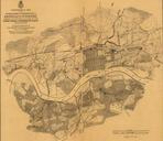
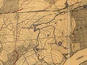
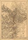
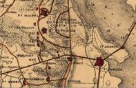
Knoxvillecivilwardefensessouthtn. en Detail of Approaches and Defences of Knoxville showing Union fortifications in what is now the South Knoxville area The road running northtosouth between Fort Dickerson and Fort Stanley roughly corresponds to modernday Chapman Highway LOCmap gk cw Cleveland Rockwell map Orlando Poe survey The