Related Images

Download:
| Tiny | 159x128 | View | Download |
| Small | 319x256 | View | Download |
| Medium | 638x512 | View | Download |
| Large | 1276x1024 | View | Download |
| Original | 18790x15072 | View | Download |
This image was acquired from
wikimedia. It was marked as Public Domain or CC0 and is free to use. To verify, go to the source and check the information there.
Looking for more info about this image?
Try a Google Reverse Image Search for it.
Try a Google Reverse Image Search for it.
Keywords from Image Description:
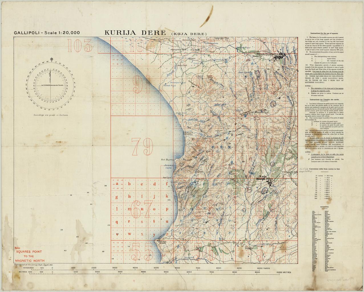
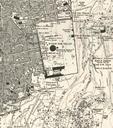
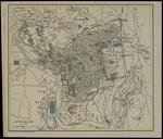
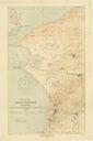
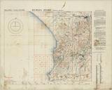
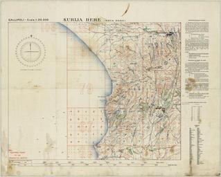
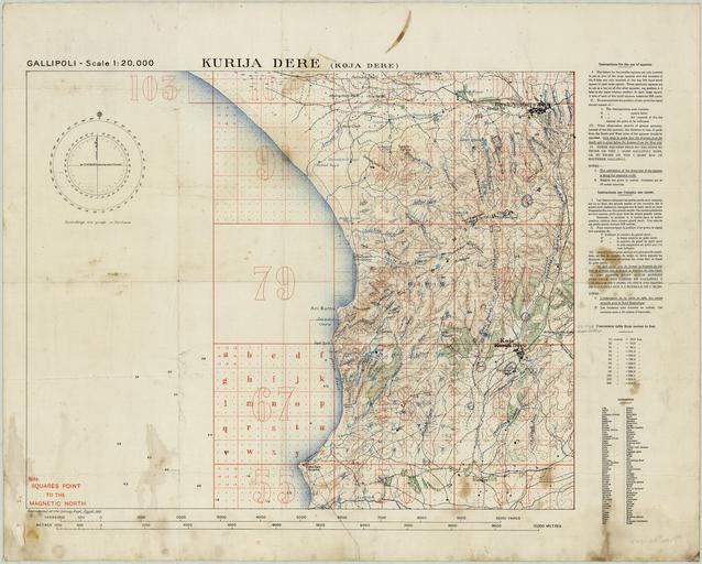
Kurija Dere Gallipoli Scale Survey Dept. Egypt . en Topographic map of Kurija Dere Kocadere anakkale Gallipoli Turkey showing transportation vegetation water features and populated places Also shown are rivers roads tracks telegraph buildings named batteries and forts Relief shown by contours and spot heights Depth shown by bathymetric