
Related Images
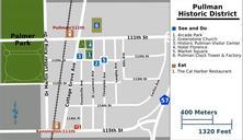
Download:
| Tiny | 296x128 | View | Download |
| Small | 593x256 | View | Download |
| Original png | 1000x431 | View | Download |
| Original as jpg | 1000x431 | View | Download |
This image was acquired from
wikimedia. It was marked as Public Domain or CC0 and is free to use. To verify, go to the source and check the information there.
Looking for more info about this image?
Try a Google Reverse Image Search for it.
Try a Google Reverse Image Search for it.
Keywords from Image Description:
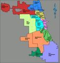
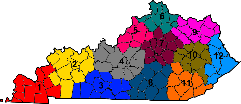
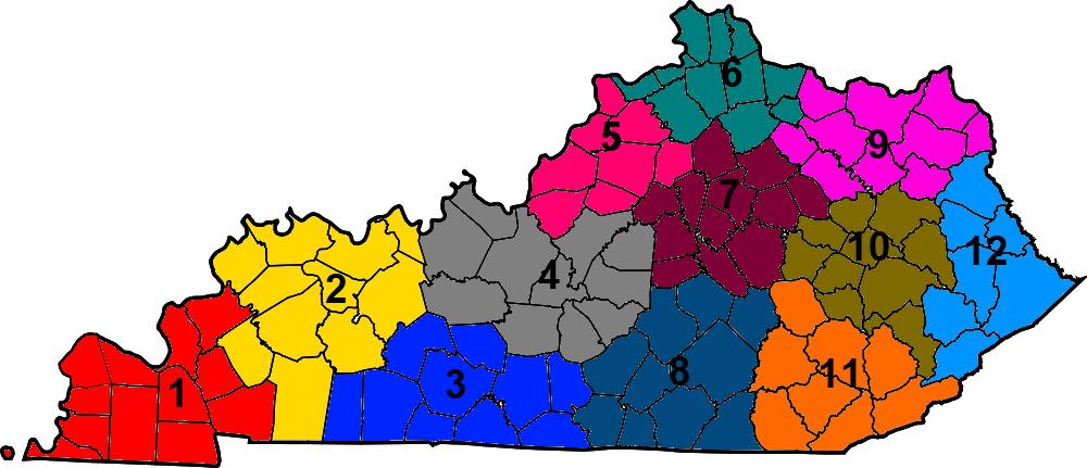
KYTC district map. This is locator map showing the Kentucky Transportation Cabinet districts The numbers come from ky gov aspx here MapofKentuckyhighlightingBallardCounty svg UTC MapofKentuckyhighlightingBallardCounty svg Dbenbenn derivative work ucfirst Presidentman Random Picture of the Day Added colors and numbers Presidentman