Related Images


Download:
| Tiny | 50x128 | View | Download |
| Small | 100x256 | View | Download |
| Medium | 200x512 | View | Download |
| Large | 400x1024 | View | Download |
| Original png | 442x1131 | View | Download |
| Original as jpg | 442x1131 | View | Download |
This image was acquired from
wikimedia. It was marked as Public Domain or CC0 and is free to use. To verify, go to the source and check the information there.
Looking for more info about this image?
Try a Google Reverse Image Search for it.
Try a Google Reverse Image Search for it.
Keywords from Image Description:
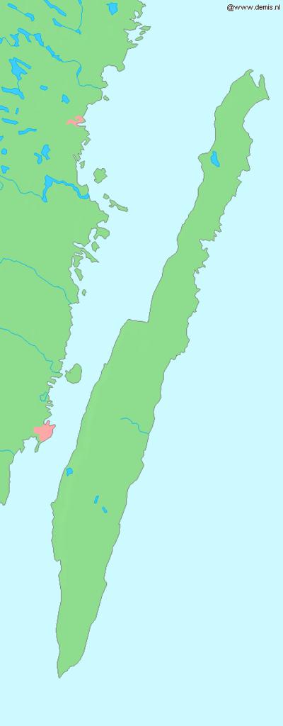
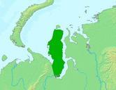
Lademisoland. Island land in the Baltic Sea Bounding box West South East North Center at Inline coordinates scale Demis map server Demis map server PDDemis Maps of islands land Maps of land