Related Images


Download:
| Tiny | 150x128 | View | Download |
| Small | 301x256 | View | Download |
| Medium | 602x512 | View | Download |
| Large | 1204x1024 | View | Download |
| Original png | 1534x1304 | View | Download |
| Original as jpg | 1534x1304 | View | Download |
This image was acquired from
wikimedia. It was marked as Public Domain or CC0 and is free to use. To verify, go to the source and check the information there.
Looking for more info about this image?
Try a Google Reverse Image Search for it.
Try a Google Reverse Image Search for it.
Keywords from Image Description:
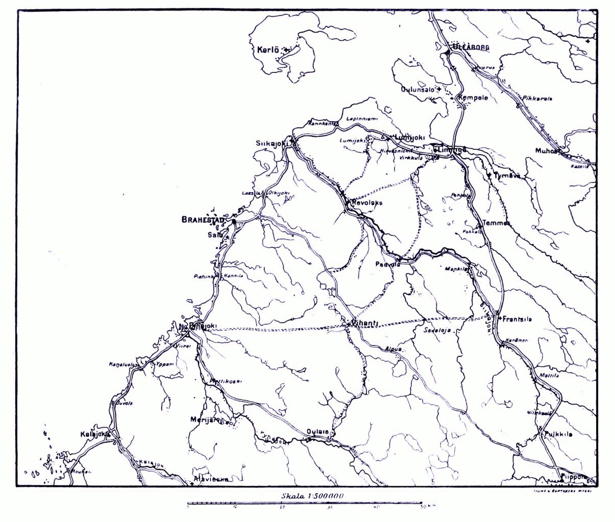
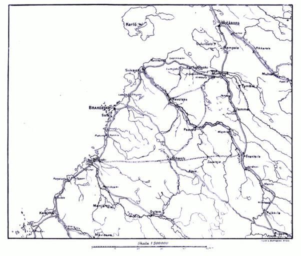
LAstridfinmapoulu. Map of the region south of en Oulu during the en Finnish War Map II org html Page Hugo Schulman Striden om Finland Map printed scanned and postprocessed by Lars Aronsson January The cartographer is unnamed the corporate name Lilius Hertzberg publishers Helsinki is mentioned in some places PDold Maps of