
Related Images


Download:
| Tiny | 185x128 | View | Download |
| Small | 370x256 | View | Download |
| Medium | 741x512 | View | Download |
| Large | 1483x1024 | View | Download |
| Original | 3644x2516 | View | Download |
This image was acquired from
wikimedia. It was marked as Public Domain or CC0 and is free to use. To verify, go to the source and check the information there.
Looking for more info about this image?
Try a Google Reverse Image Search for it.
Try a Google Reverse Image Search for it.
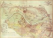
Keywords from Image Description:
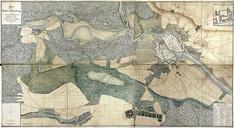
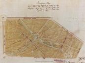
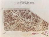
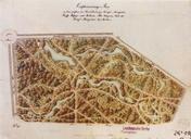
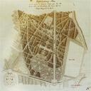
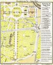
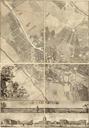
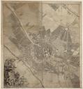
La Vigne plan of Berlin Lietzow and Tiergarten. de Plan von La Vigne von Berlin Tiergarten und Lietzow Norden oben Im Sden ist das Dorf Wilmersdorf erkennbar stlich davon befindet sich das Dorf Schneberg Eine Seenkette verbindet beide Drfer Im nordstlichen Teil der Karte ist das alte Berlin als Zitadelle zu erkennen Im Nordwesten