
Related Images


This image was acquired from
wikimedia. It was marked as Public Domain or CC0 and is free to use. To verify, go to the source and check the information there.
Looking for more info about this image?
Try a Google Reverse Image Search for it.
Try a Google Reverse Image Search for it.
Keywords from Image Description:
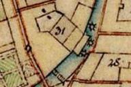
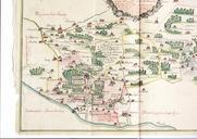
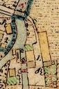
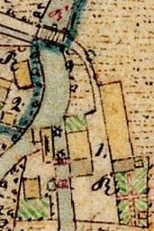
Lagekarte Rohrmhle Altenkunstadt. de Historische Lagekarte der Rohrmhle in Rhrig bei Altenkunstadt Screenshot von bayern de zoom lang de topic ba bgLayer historisch catalogNodes Bayern Atlas author PDold Altenkunstadt Maps by Royal Bavarian Land Tax Commission