
Related Images
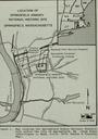

Download:
| Tiny | 134x128 | View | Download |
| Small | 269x256 | View | Download |
| Medium | 538x512 | View | Download |
| Original | 1000x951 | View | Download |
This image was acquired from
wikimedia. It was marked as Public Domain or CC0 and is free to use. To verify, go to the source and check the information there.
Looking for more info about this image?
Try a Google Reverse Image Search for it.
Try a Google Reverse Image Search for it.
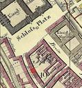
Keywords from Image Description:
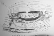
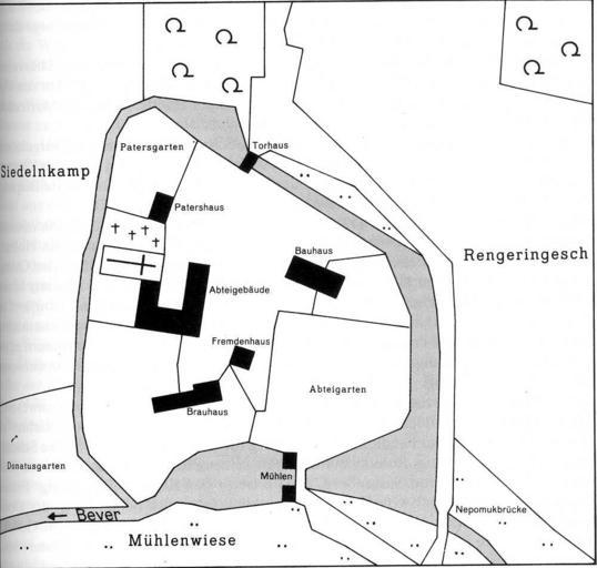
Lageplan Rengering. Lageplan von Regering Siegfried Schmieder Ostbevern Beitrge zur Geschichte und Kultur einer Gemeinde im Mnsterland Warendorf Katasteramt Warendorf Flurkarte von Geometer Lex und Delius Flur Gemeinde Ostbevern und Flur Blatt Gemeinde Milte im Katasteramt Warendorf Flurbcher der Gemeinde Ostbevern und Milte