
Related Images
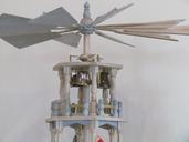


Download:
| Tiny | 135x128 | View | Download |
| Small | 271x256 | View | Download |
| Medium | 543x512 | View | Download |
| Original | 888x837 | View | Download |
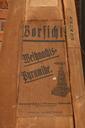
This image was acquired from
wikimedia. It was marked as Public Domain or CC0 and is free to use. To verify, go to the source and check the information there.
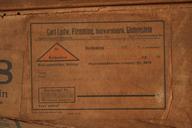
Looking for more info about this image?
Try a Google Reverse Image Search for it.
Try a Google Reverse Image Search for it.
Keywords from Image Description:
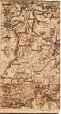
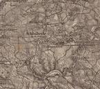
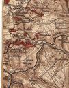
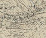
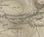
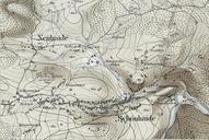
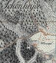
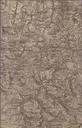
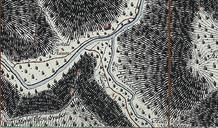
Landkarte von etwa Mastab zu Ausschnitt westliches Erzgebirge . Westerzgebirge SpecialKarte der Umgegend von Chemnitz mit besonderer Bercksichtigung des Mulden und des Zschopauthales auf Grund neuester Materialien herausgegeben und gezeichnet von Moritz Seifert CivilIngenieurGeograph und Lehrer am Kniglich Schsischen CadettenCorps