
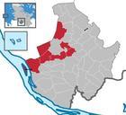
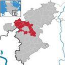
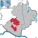
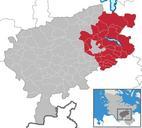
Related Images

Download:
| Tiny | 111x128 | View | Download |
| Small | 222x256 | View | Download |
| Medium | 445x512 | View | Download |
| Original svg | 572x658 | View | Download |
| Original as jpg | 572x658 | View | Download |
This image was acquired from
wikimedia. It was marked as Public Domain or CC0 and is free to use. To verify, go to the source and check the information there.
Looking for more info about this image?
Try a Google Reverse Image Search for it.
Try a Google Reverse Image Search for it.
Keywords from Image Description:
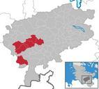
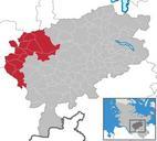
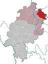
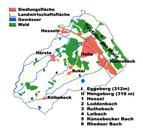
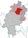
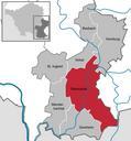
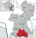
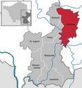
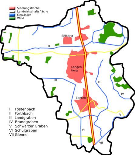
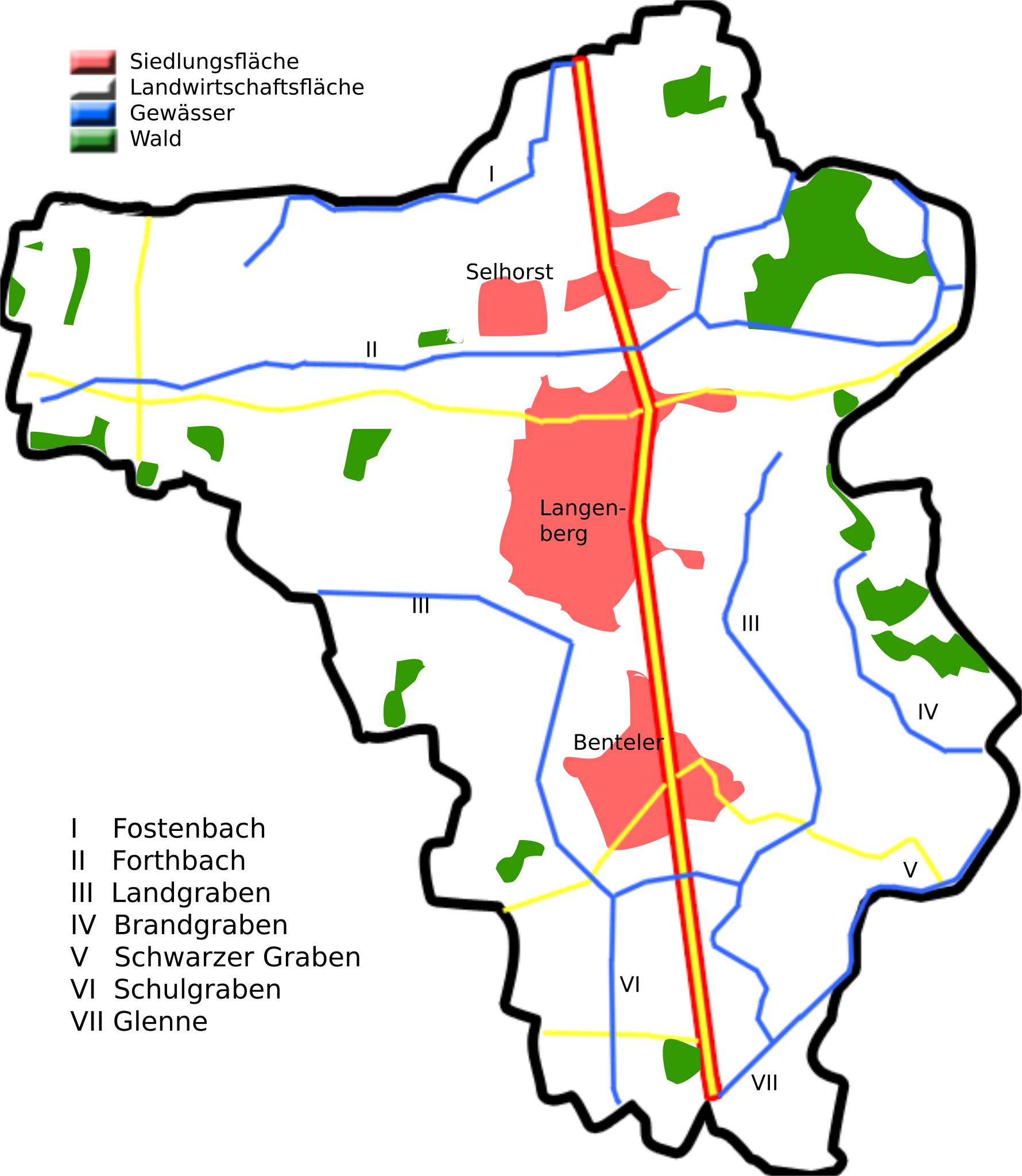
Langenberg Kreis Gtersloh land utilization.svg Langenberg Kreis Gtersloh Langenberg Kreis Gtersloh own Hagar Homemade maps cannot be accurate This is especially true for topographical data that is hard to incorporate correctly in such maps You are free to use the map as starting point for your new improved versions Maps of