
Related Images

Download:
| Tiny | 207x128 | View | Download |
| Small | 414x256 | View | Download |
| Medium | 828x512 | View | Download |
| Large | 1656x1024 | View | Download |
| Original png | 3000x1854 | View | Download |
| Original as jpg | 3000x1854 | View | Download |
This image was acquired from
wikimedia. It was marked as Public Domain or CC0 and is free to use. To verify, go to the source and check the information there.
Looking for more info about this image?
Try a Google Reverse Image Search for it.
Try a Google Reverse Image Search for it.
Keywords from Image Description:
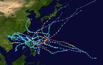
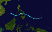
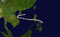
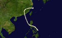
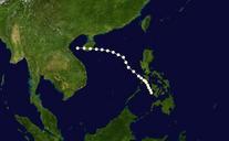
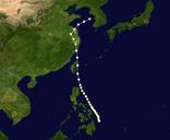
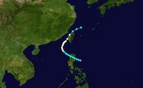
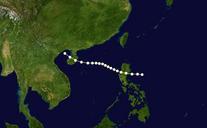
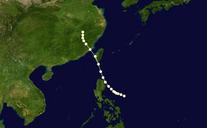
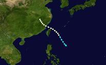
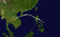
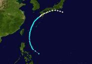
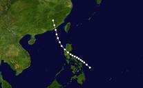
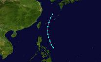
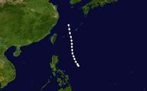
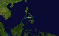
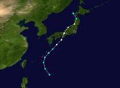
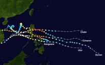
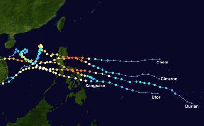
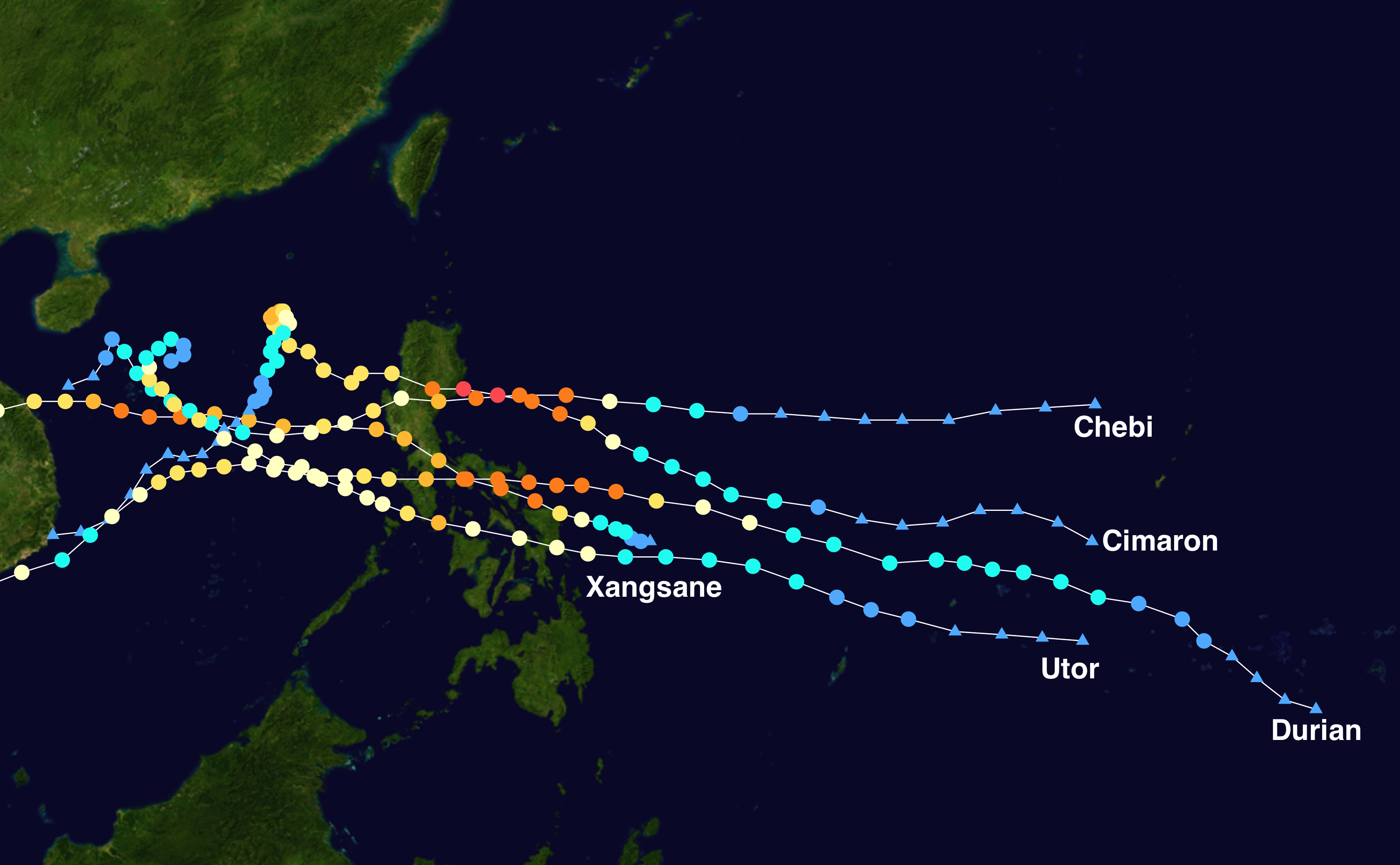
Late Philippine typhoon tracks. Track map of the five successive typhoons that struck the Philippines between September and December The points show the location of the storm at hour intervals The color represents the storm's maximum sustained wind speeds as classified in the SaffirSimpson Hurricane Scale see below and the shape