
Related Images


Download:
| Tiny | 150x128 | View | Download |
| Small | 300x256 | View | Download |
| Medium | 601x512 | View | Download |
| Large | 1202x1024 | View | Download |
| Original | 1624x1383 | View | Download |
This image was acquired from
wikimedia. It was marked as Public Domain or CC0 and is free to use. To verify, go to the source and check the information there.
Looking for more info about this image?
Try a Google Reverse Image Search for it.
Try a Google Reverse Image Search for it.
Keywords from Image Description:
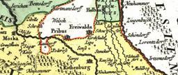
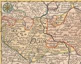
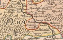
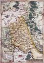
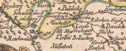
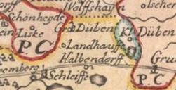
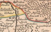
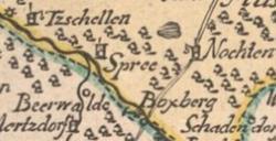
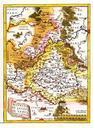
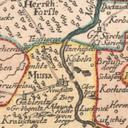
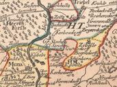
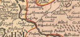
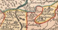
Lausitz map thC. Mapa Doln Horn Luice Karte der Nieder und Oberlausitz Map of Lower and Upper Lusatia Als FelsLausitz trkpe suub unibremen de hmap id blatt Johann Hbner Johann Baptist Totius Marchionatus Lusatiae tam superioris quam inferioris Tabula specialis in suos Comitatus et Dominatus distincta Norimbergae between Johann