
Related Images


Download:
| Tiny | 132x128 | View | Download |
| Small | 265x256 | View | Download |
| Original png | 467x450 | View | Download |
| Original as jpg | 467x450 | View | Download |
This image was acquired from
wikimedia. It was marked as Public Domain or CC0 and is free to use. To verify, go to the source and check the information there.
Looking for more info about this image?
Try a Google Reverse Image Search for it.
Try a Google Reverse Image Search for it.
Keywords from Image Description:
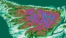
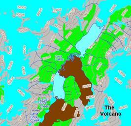
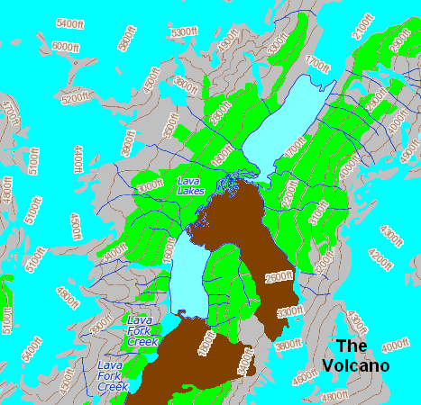
Lava Forks Provincial Park topo. en Topographic map of the Lava Forks Provincial Park area in northwestern British Columbia Canada own based on topographic map found on the The Atlas of Canada website nrcan gc ca mapsize lat long mapxy scale featurena TheVolcano location uniquekey cfbcfccbdcbfab searchstring The Volcano