Related Images


Download:
| Tiny | 245x128 | View | Download |
| Original gif | 288x150 | View | Download |
| Original as jpg | 288x150 | View | Download |
This image was acquired from
wikimedia. It was marked as Public Domain or CC0 and is free to use. To verify, go to the source and check the information there.
Looking for more info about this image?
Try a Google Reverse Image Search for it.
Try a Google Reverse Image Search for it.
Keywords from Image Description:
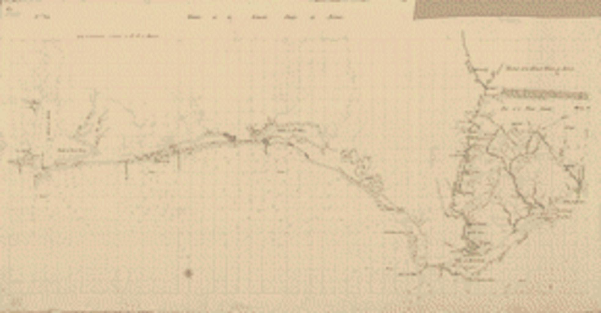
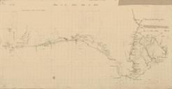
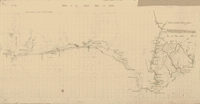
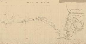
Lhr. en Map of Spanish East and West Florida from Mobile Bay to Apalache Bay bounded by the United States boundary on the north Library of Congress loc gov Vicente Sebastian Pintado other versions PDold Uploaded with Vicente Sebastian Pintado Maps of Florida Maps of Alabama Maps of West Florida