Related Images


Download:
| Tiny | 258x128 | View | Download |
| Original gif | 303x150 | View | Download |
| Original as jpg | 303x150 | View | Download |
This image was acquired from
wikimedia. It was marked as Public Domain or CC0 and is free to use. To verify, go to the source and check the information there.
Looking for more info about this image?
Try a Google Reverse Image Search for it.
Try a Google Reverse Image Search for it.
Keywords from Image Description:
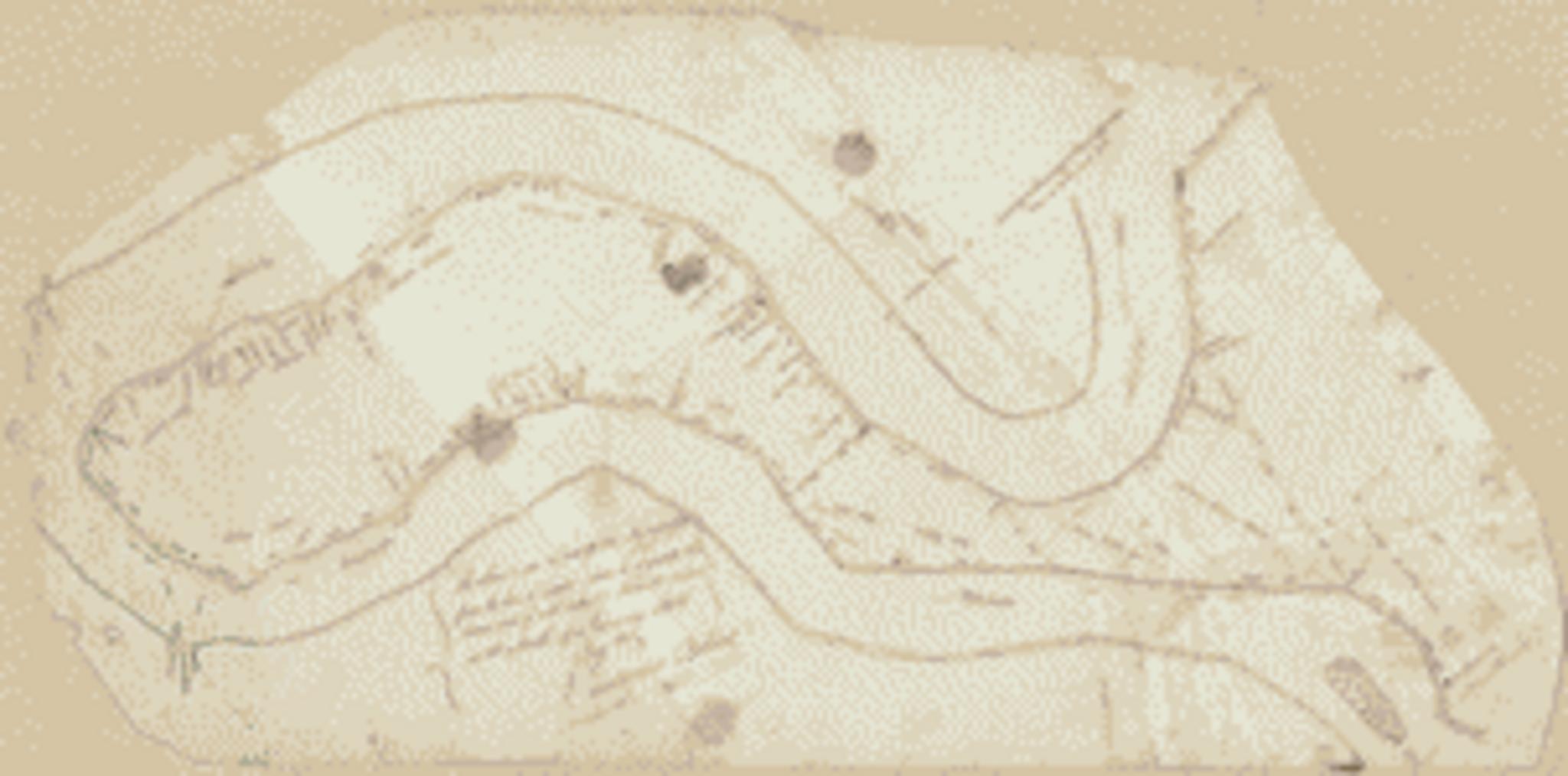
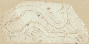
Lh. en Cadastral map of an area along the Mississippi River from the United StatesSpanish border south to McIntosh Island West Florida Library of Congress loc gov Vicente Sebastian Pintado other versions PDold Uploaded with Vicente Sebastian Pintado Maps of West Florida