
Related Images

Download:
| Tiny | 199x128 | View | Download |
| Small | 398x256 | View | Download |
| Original png | 560x360 | View | Download |
| Original as jpg | 560x360 | View | Download |
This image was acquired from
wikimedia. It was marked as Public Domain or CC0 and is free to use. To verify, go to the source and check the information there.
Looking for more info about this image?
Try a Google Reverse Image Search for it.
Try a Google Reverse Image Search for it.
Keywords from Image Description:
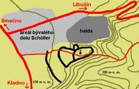
LibusinPlanHradiste. Hradit Libun okrese Kladno Mapka znzoruje polohu hradit prbh jeho opevnn Vrstevnice jsou zachyceny po metrech Pro pestavu mtku vzdlenost mezi mstem kde cesta st na silnici kostelkem je necelch Map of grad Libun in district Kladno Draw by Miaow Miaow Transferred from org cs Transfer was stated to be made