
Related Images
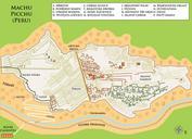
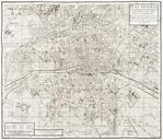

Download:
| Tiny | 196x128 | View | Download |
| Small | 392x256 | View | Download |
| Medium | 785x512 | View | Download |
| Original png | 1329x866 | View | Download |
| Original as jpg | 1329x866 | View | Download |
This image was acquired from
wikimedia. It was marked as Public Domain or CC0 and is free to use. To verify, go to the source and check the information there.
Looking for more info about this image?
Try a Google Reverse Image Search for it.
Try a Google Reverse Image Search for it.
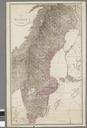
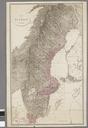
Keywords from Image Description:
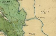
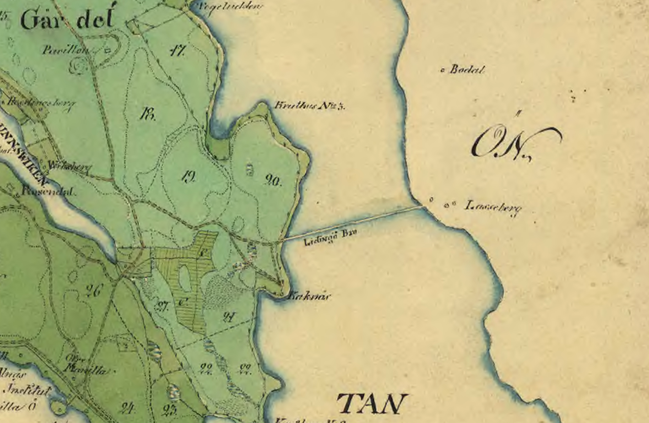
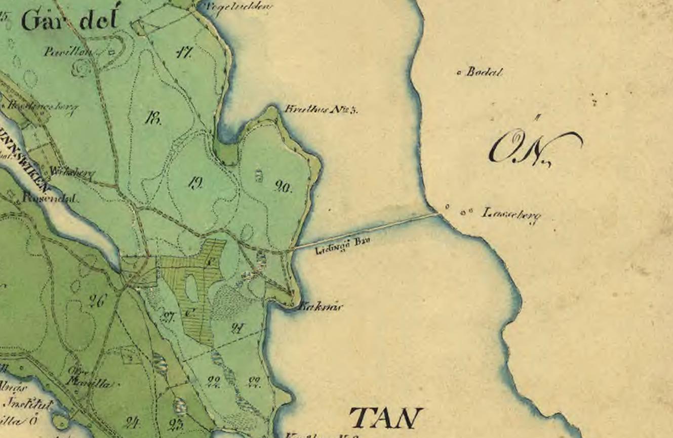
Lidingbron karta . Historical map showing the coast line of Norra Djurgrden Stockholm and Liding with the first bridge between Kakns and Liding at Larsberg built in The map was created djurgardskartor lantmateriet se Historical maps area Djurgrden Stockholm Lidingo PDold PDold thcentury maps of Stockholm Maps of Grdet Maps of