
Related Images


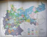
Download:
| Tiny | 175x128 | View | Download |
| Small | 350x256 | View | Download |
| Medium | 700x512 | View | Download |
| Original | 892x652 | View | Download |
This image was acquired from
wikimedia. It was marked as Public Domain or CC0 and is free to use. To verify, go to the source and check the information there.
Looking for more info about this image?
Try a Google Reverse Image Search for it.
Try a Google Reverse Image Search for it.
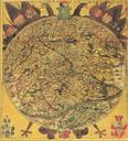
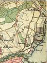
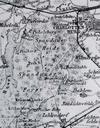
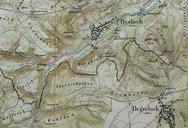
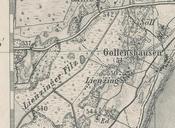
Keywords from Image Description:
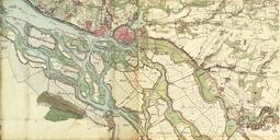
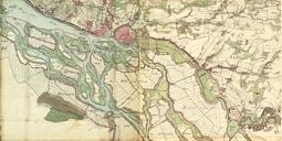
Lienzing Karte . en map of Lienzing and environs west of Chiemsee Lake upper Bavaria scale bayerischelandesbibliothekonline de html digitalisierte historische Karten Topographischer Atlas vom Knigreiche Baiern Blatt Traunstein West Bavarian Survey Chiemgau Gstadt am Chiemsee PDold