
Related Images


Download:
| Tiny | 146x128 | View | Download |
| Small | 292x256 | View | Download |
| Medium | 585x512 | View | Download |
| Original | 679x594 | View | Download |
This image was acquired from
wikimedia. It was marked as Public Domain or CC0 and is free to use. To verify, go to the source and check the information there.
Looking for more info about this image?
Try a Google Reverse Image Search for it.
Try a Google Reverse Image Search for it.
Keywords from Image Description:
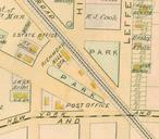
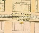
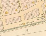
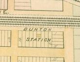
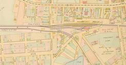
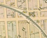
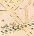
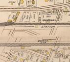
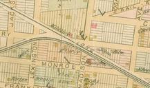
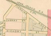
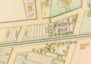
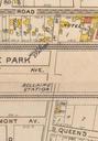
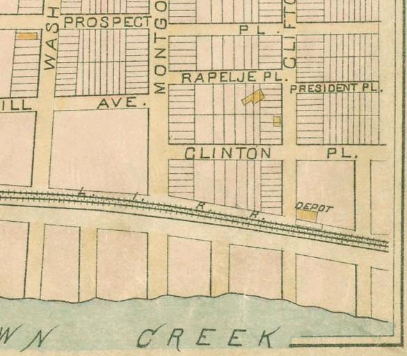
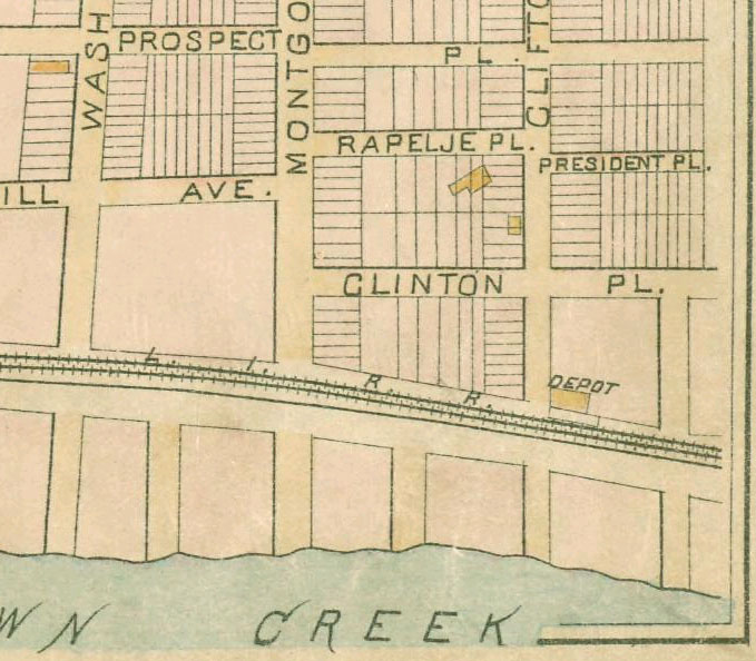
LIRR Laurel Hill station. This is portion of an map of Queens New York United States showing Laurel Hill station The map was scanned by the New York Public Library with Digital Image ID The cross street is Clifton Avenue now th Street PDart Artworks missing infobox template Long Island Rail Road maps Old railroad maps of New York