
Related Images


Download:
| Tiny | 249x128 | View | Download |
| Small | 499x256 | View | Download |
| Medium | 998x512 | View | Download |
| Large | 1997x1024 | View | Download |
| Original svg | 6607x3387 | View | Download |
| Original as jpg | 6607x3387 | View | Download |
This image was acquired from
wikimedia. It was marked as Public Domain or CC0 and is free to use. To verify, go to the source and check the information there.
Looking for more info about this image?
Try a Google Reverse Image Search for it.
Try a Google Reverse Image Search for it.
Keywords from Image Description:
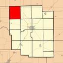
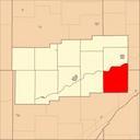
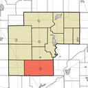
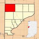
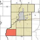
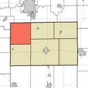
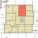
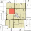
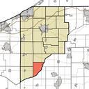
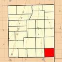
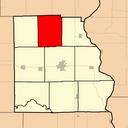
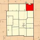
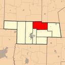
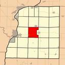
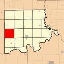
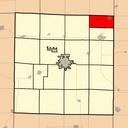
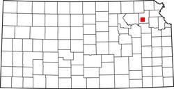
Location of Prairie Band of Potawatomi.svg Map showing the location of the Prairie Band of Potawatomi Made from Image Map of Kansas highlighting Allen County svg with information from gov nationalatlas gov Made using Inkscape Teaandcrumpets Locator maps of Indian reservations in the United States Created with Inkscape Maps of