Related Images


Download:
| Tiny | 97x128 | View | Download |
| Small | 194x256 | View | Download |
| Medium | 388x512 | View | Download |
| Large | 776x1024 | View | Download |
| Original | 958x1263 | View | Download |
This image was acquired from
wikimedia. It was marked as Public Domain or CC0 and is free to use. To verify, go to the source and check the information there.
Looking for more info about this image?
Try a Google Reverse Image Search for it.
Try a Google Reverse Image Search for it.
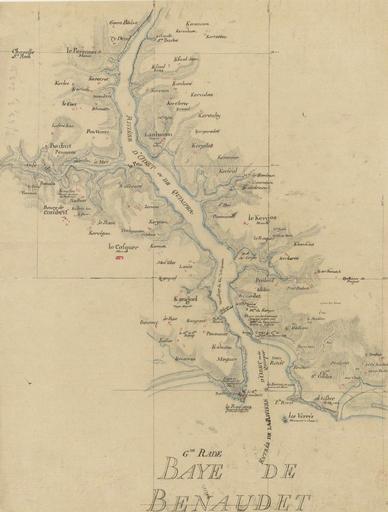
Keywords from Image Description:
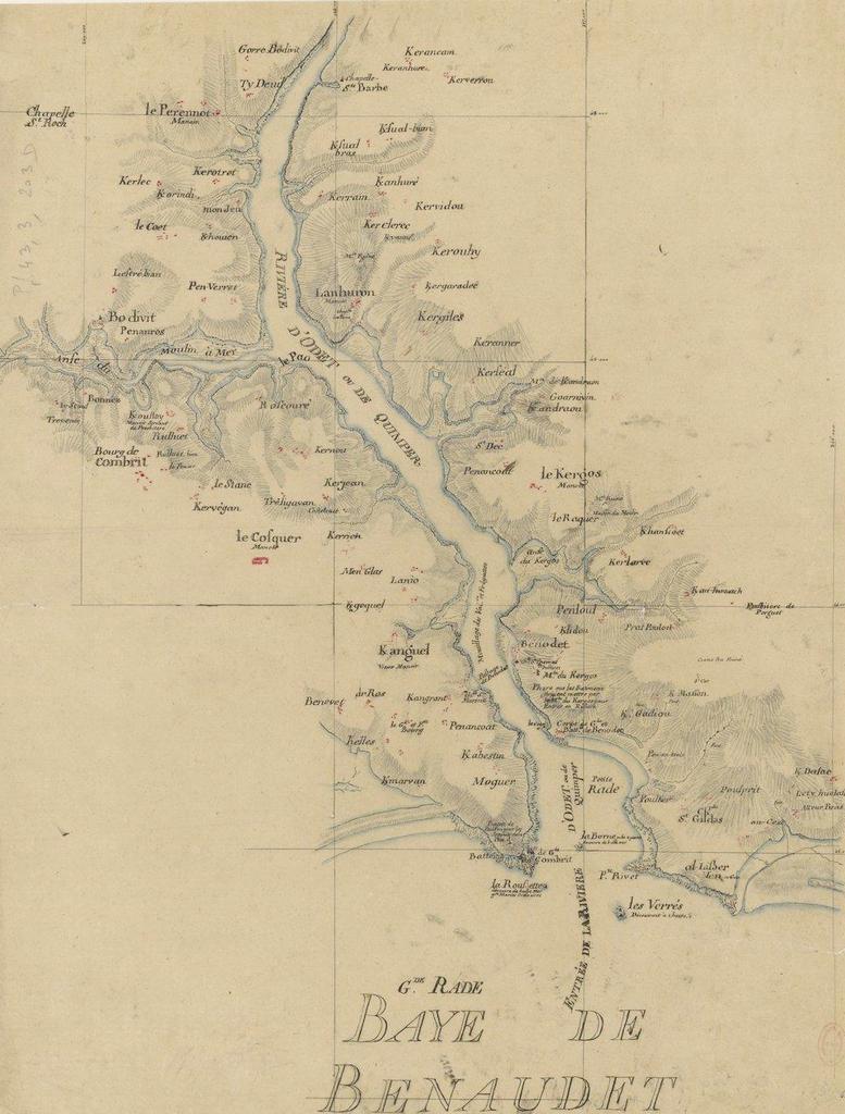
L'Odet en aval de Quimper. fr Plan de l'Odet en aval de Quimper entre et Anse de Bnodet et Odet bnf fr Anodet langFR Inconnu avant PDoldauto Uploaded with Odet maps of France Old maps of Finistre