
Related Images


Download:
| Tiny | 173x128 | View | Download |
| Small | 347x256 | View | Download |
| Medium | 695x512 | View | Download |
| Large | 1391x1024 | View | Download |
| Original | 2580x1899 | View | Download |
This image was acquired from
wikimedia. It was marked as Public Domain or CC0 and is free to use. To verify, go to the source and check the information there.
Looking for more info about this image?
Try a Google Reverse Image Search for it.
Try a Google Reverse Image Search for it.
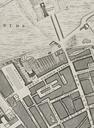
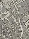
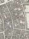
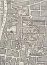
Keywords from Image Description:
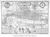
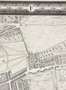
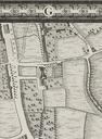
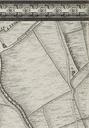
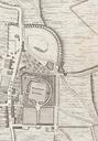
London Hoefnagel's Map of . en Joris Hoefnagel engraved many of the maps for Braun Hogenburg's Civitates Orbis Terrarum from which this map is taken The original is inches The inclusion of the steeple of St Paul's destroyed in indicates that this map was taken from existing surveys Maps of Old London London Adam and Charles Black