
Related Images


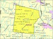


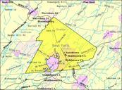


Download:
| Tiny | 173x128 | View | Download |
| Small | 346x256 | View | Download |
| Original gif | 575x425 | View | Download |
| Original as jpg | 575x425 | View | Download |
This image was acquired from
wikimedia. It was marked as Public Domain or CC0 and is free to use. To verify, go to the source and check the information there.
Looking for more info about this image?
Try a Google Reverse Image Search for it.
Try a Google Reverse Image Search for it.
Keywords from Image Description:
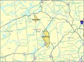
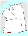
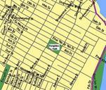
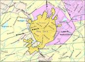
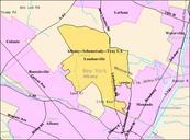
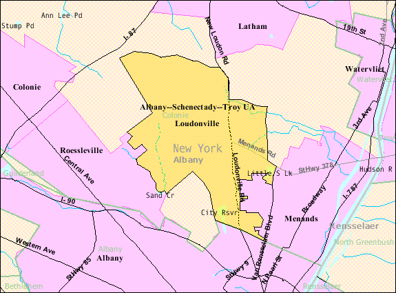
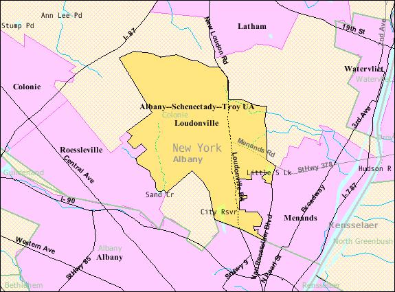
LoudonvilleCDP. en Map of the boundaries of the Loudonville New York census designated place in census gov geoid US treeid context dt lang en ts US Federal Government Bureau of Census Colonie New York PDUSGov